
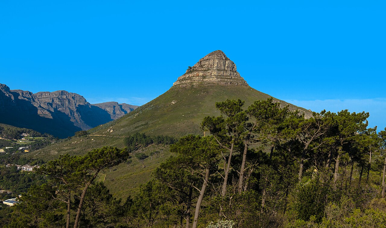
Sandstone Origins and Recorded Names
Lion's Head is a sandstone peak adjacent to Table Mountain and Signal Hill. Its sandstone was formerly continuous with that of the neighbouring summits. Erosion separated the peaks, leaving Lion's Head as a distinct conical summit standing apart from the Table Mountain massif.
The mountain's profile prompted Dutch settlers to name it Leeuwenkop. The City of Cape Town's heritage documentation records both Leeuwenkop and Lion's Head as names for the peak. The same documentation records Lion's Rump alongside Signal Hill as names for the adjacent landform, placing both within a single figurative reading of the ridge.
Colonial Signal Posts
In 1660, a lookout was established at Kloof Nek. In 1673, Governor Isbrand Goske ordered two bronze cannons and a signal mast installed on Lion's Head itself, giving the colonial administration a signalling position over Table Bay. In 1806, the post on Lion's Head was abandoned in favour of a station on Lion's Rump.
Contemporary Use
SANParks administers Lion's Head within Table Mountain National Park and documents it as a recognised walking destination. A custom of ascending the mountain on nights of the full moon has developed and is noted in SANParks materials as a recurring popular tradition.