
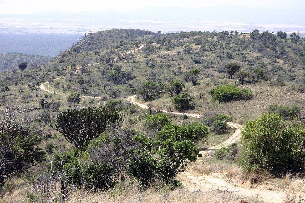
Two Properties, One Divided Landscape
Research archived by Lewa Wildlife Conservancy, including a topographic field study by Kariuki, describes the conservancy as a mosaic of rolling hills in the north, volcanic plains in the central area, and steep forested valleys toward the south. The 2015 Lewa–Borana Landscape monitoring report distinguishes two adjacent properties: Lewa at a lower average elevation of approximately 1,700 metres and Borana at approximately 1,940 metres, separated by the Ngare Ndare valley and a low north–south escarpment. A fence dividing the two properties was removed in 2014, and subsequent monitoring tracked elephant and giraffe movement across the joined terrain.
World Heritage Extension and the Elephant Corridor
In 2013 UNESCO extended the Mount Kenya National Park and Natural Forest World Heritage site to include Lewa Wildlife Conservancy and Ngare Ndare Forest Reserve. Its decision identifies a corridor in the buffer zone that elephants use to move between the two areas.
Terrain and Geological Setting
The UNEP conservation dossier describes a mixture of older basement rock and material from Mount Kenya’s volcanic history. Across Lewa and the Ngare Ndare forest, the survey records land from roughly 1,450 to 2,300 metres.