
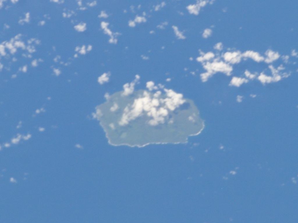
Summit Crater and Flank Structures
Late's summit region contains a crater approximately 400 metres wide that sometimes holds standing water, a feature that varies with rainfall and volcanic heat rather than representing a permanent lake. Beyond the summit, the GVP records additional cones and pit craters distributed across the island's flanks — evidence of eruptive activity that has not been confined to a single central vent. The eruptions of 1790 and 1854 are both associated by the GVP with craters on the northeastern flank specifically, suggesting that activity has at times bypassed the summit and found expression lower on the edifice.
The Lichen Episode and the Limits of Observation
At some point after the eruptions listed in the historical record, a pale deposit visible at the summit prompted a report of possible recent activity. When the site was subsequently examined, investigators found only scattered white lichen rather than fresh volcanic material, and no evidence of a recent eruption was identified at that time. The episode illustrates a recurring challenge in monitoring remote oceanic volcanoes, where surface discolouration observed from a distance can resemble volcanic deposits and requires ground-truthing before conclusions are drawn.
Late and Its Submarine Neighbour Lateiki
Farther south lies Lateiki, a separate volcano whose submarine eruptions have repeatedly built short-lived islands. A report of pale material on Late itself prompted field inspection; the surveyors found patches of pale lichen and no evidence of a recent eruption.