
A Shield Volcano's Foundations
Taʻū owes its basic form to a shield volcano built up over time by repeated lava flows. The accumulated eruptions created the broad, layered structure that underlies the entire island. That eruptive history produced the deep geological foundation on which Lata Mountain now stands, with the island's bulk representing countless successive events rather than a single dramatic episode.
Caldera Collapse and Interior Accumulation
Following the shield-building phase, the summit region underwent collapse, forming a caldera. Within that basin, further volcanic activity deposited both lava and fragmented volcanic material, filling and partially obscuring the original collapse structure. The National Park Service distinguishes between Pleistocene intracaldera units — those emplaced within the caldera itself — and later post-caldera volcanic units, a distinction that reflects the island's layered eruptive biography and informs how geologists read the terrain around the high summit area.
Southern Escarpments and Coastal Terraces
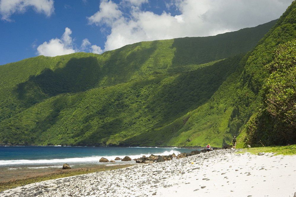
Later collapses reshaped Taʻū’s southern coast into a series of escarpments and terraces. The park’s management plan traces the largest terrace westward from the southeastern end of the island, below the inland cliffs that rise toward Lata Mountain.