
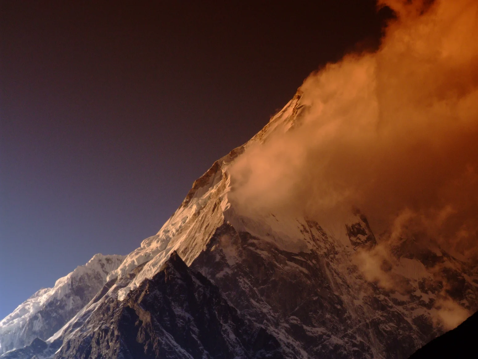
Summit Elevation and Identity
Nepal's Department of Tourism records the summit of Langtang Lirung at 7,234 m, the figure used by the government as the authoritative measurement. The Himalayan Database assigns a value of 7,227 m. The peak sits north of Langtang valley within the Langtang Himal, a range that forms part of the border terrain between Nepal and Tibet.
First Ascent and the East Ridge
The summit was reached for the first time on 24 October 1978 by Seishi Wada and Pemba Tsering Sherpa, members of a joint expedition comprising nine Japanese climbers from Osaka City University and four Nepalese climbers from Tribhuvan University, led by Akira Ban. The team approached via the Lirung Glacier and gained the east ridge, establishing Camp IV at around 6,652 m, as recorded in the American Alpine Journal's 1979 account of the climb. The ascent stands as one of the notable joint Japanese–Nepalese mountaineering ventures of the period, combining institutional resources from both countries on a technically demanding objective in the Langtang region.
Subsequent Attempts and the Southeast Ridge
The Himalayan Database records a Japanese expedition that climbed the southeast ridge in 1980. The southeast ridge presents a distinct approach from the line taken during the first ascent, and its inclusion in the archive marks Langtang Lirung as a peak that attracted return attention in the years immediately following its opening.
Measurements on the Lirung Glacier
Researchers from ICIMOD and Kathmandu University measured discharge in Langtang Khola and at the Lirung Glacier outlet during the 2016 monsoon. Automated stations recorded water level every ten minutes. These findings are attributed to the ICIMOD field report.