
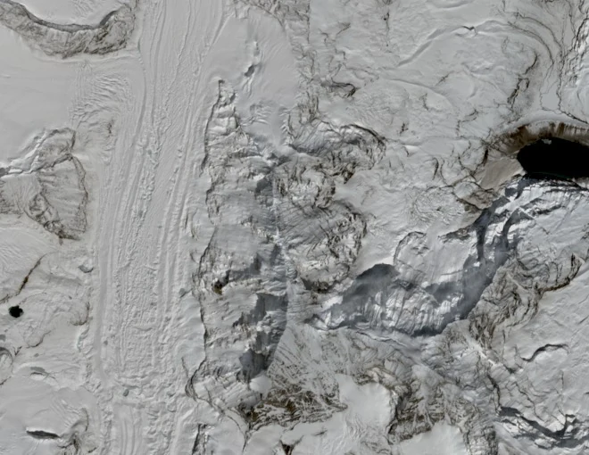
Elevation Figures
The Nepal Department of Tourism records Langmoche Ri at 6,617 m at 27°52′02″N, 86°33′18″E. The Himalayan Database and the 2012 American Alpine Journal report use 6,552 m; a 2004 attempt report cited 6,811 m. Each figure carries its source's attribution. The terrain rises steadily southward along the ridge toward Tengi Ragi Tau, a distinct peak at 6,938 m.
First Recorded Ascent
A 2004 attempt from the far side of the col did not reach the summit. Alan Rousseau and Tino Villanueva climbed the northwest ridge in November 2012, the first recorded ascent per their American Alpine Journal report. The pair had also aimed to evaluate access onward to Tengi Ragi Tau but turned back after reaching Langmoche Ri.
Position on the North Ridge of Tengi Ragi Tau
Alan Rousseau and Tino Villanueva first climbed Langmoche Ri in 2012, during which ascent they observed the west face of the much higher Tengi Ragi Tau. They returned to attempt that west face in 2014 but turned back at around 6,500 metres. The pair completed the west face of Tengi Ragi Tau in 2019, and the Piolets d'Or recognized that climb in 2020.