
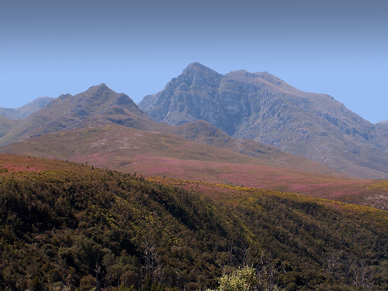
Cape Fold Belt Sandstone and East–West Structure
The Langeberg owes its linear profile to the east–west folds of the Cape Fold Belt, where ancient Table Mountain Group sandstone was compressed into ridges and valleys. This geology, documented in Langeberg Municipality assessments, produces the range's characteristic hard quartzitic slopes and the thin, nutrient-poor soils that fynbos communities occupy across its higher terrain.
Marloth Nature Reserve and the 1928 Petition
Near Swellendam, botanist Rudolph Marloth joined local residents in petitioning for formal protection of the forests known as Koloniesbos and Duiwelsbos. Their effort secured 190 hectares of reserve status in 1928. CapeNature records a substantial expansion of the reserve in 1981, extending the protected area and consolidating fynbos and forest habitats on the southern slopes of the range.
Grootvadersbosch and Southern Afrotemperate Forest
Farther east near Heidelberg, Grootvadersbosch Nature Reserve protects 250 hectares of Southern Afrotemperate forest, among the most intact examples of this forest type in the region. Grootberg, the reserve's high point, reaches 1,637 metres. CapeNature manages the site, where the dense forest understorey and canopy contrast with the open fynbos vegetation characteristic of higher Langeberg slopes.