
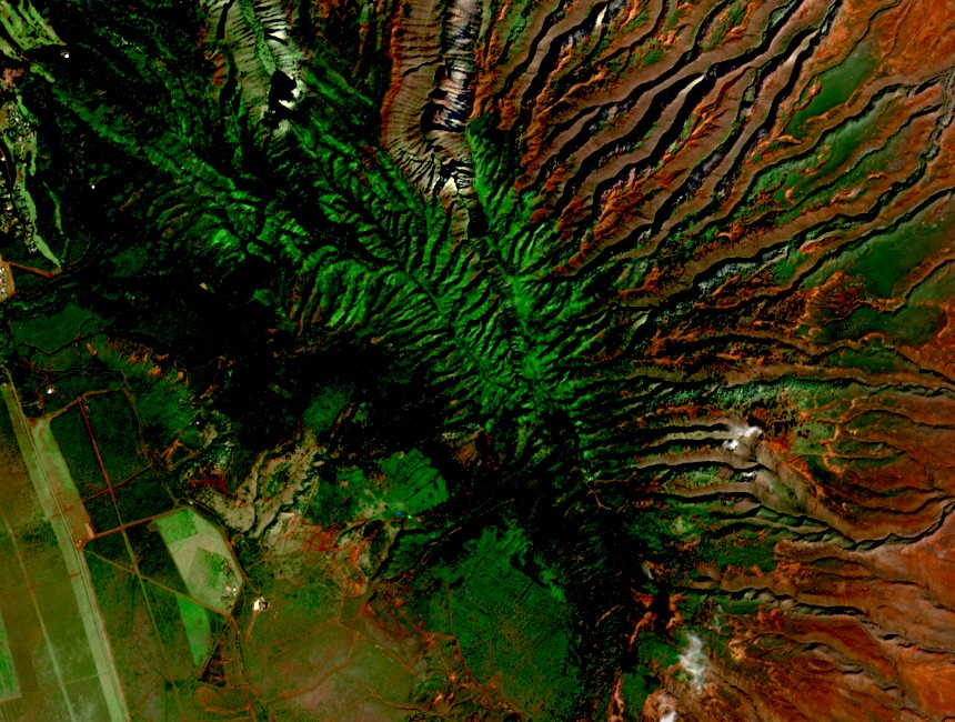
Volcanic Origins and Ridge Topography
Lānaʻi was formed by a single shield volcano, with eruptions at the summit and along three rift zones. This history produced the island's elongated ridge and the steep gulches documented on the upper terrain in the habitat conservation plan. Lānaʻihale and its ridgelines represent the highest remnant of that layered basaltic structure.
Cloud Forest and Moisture Regime
A cloud forest documented in the Maui County water plan extends from roughly 700 m to the summit. The broader island sits largely in Maui's rain shadow and receives comparatively little direct rainfall. Lānaʻihale's ridge intercepts persistent fog and low cloud, sustaining tree and fern cover that the drier lower elevations cannot support.
Fog Drip and Aquifer Recharge
Trees and ferns on the upper ridge collect droplets from passing clouds, which drip to the ground and percolate into the underlying rock. The Hawaiʻi DLNR habitat conservation plan identifies this fog interception as a contributor to aquifer recharge, linking the ridge's biological character directly to the island's freshwater resources.