
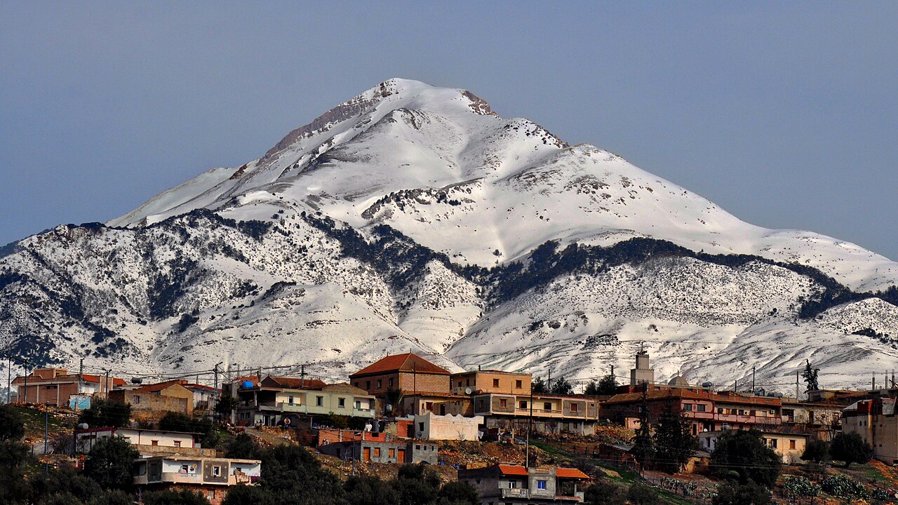
A Limestone Arc Shaped by Water and Time
The Djurdjura's limestone bedrock has been carved over millennia by dissolution and infiltration. Rainwater percolates through fissured rock, widening fractures into an extensive underground karst system of galleries and chambers. This hydrological process operates at a landscape scale across the full 50-kilometre arc documented in Algeria's UNESCO dossier, linking surface terrain with the hidden drainage networks beneath.
Early Scientific Expeditions into the Massif
Formal scientific interest in the Djurdjura was established in the nineteenth century. A botanical expedition in 1854 documented the massif's flora, and a second scientific expedition followed in 1912, extending the record of the range's natural history. These campaigns contributed to the empirical foundation for subsequent ecological research in the region.
Djurdjura National Park and World Heritage Candidacy
Djurdjura National Park protects the massif and its surrounding ecosystems. In April 2025, Algeria submitted the park for inclusion on the UNESCO World Heritage Tentative List, a formal step that opens the pathway toward full nomination review by the World Heritage Committee.