
A Glacial Record
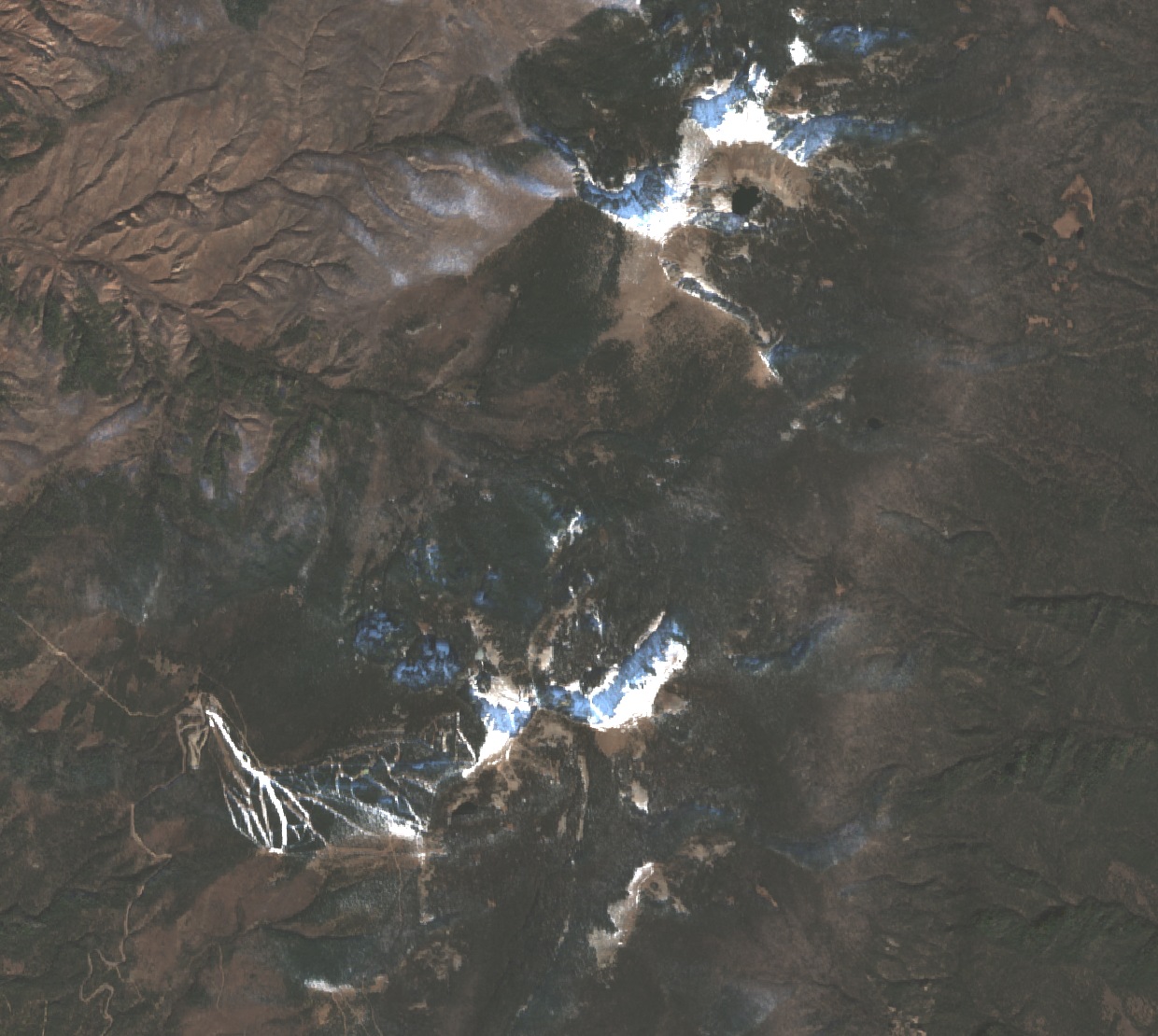
In 1962, USGS geologist Gerald Richmond mapped a sequence of moraines along Río Nambé on the northeast side of Lake Peak. Moraines are ridges of rock and sediment deposited at a glacier's edge, recording where ice once stood. Richmond found old, broad lateral moraines resting on bedrock shoulders — subdued by weathering — and, farther upstream, younger rough bouldery ridges still sharply defined. The contrast in form suggests the valley passed through more than one phase of glaciation.
Two Watersheds
The Río Nambé drains the northeastern side of Lake Peak and flows through Nambé Pueblo on its course to the Rio Grande. The Santa Fe River originates at nearby Santa Fe Lake and runs approximately 46 miles to the Rio Grande. The City of Santa Fe and the Forest Service collaborate to reduce fire risk in the upper Santa Fe watershed, which supplies drinking water.
A Sacred Mountain
A U.S. Forest Service report describes Lake Peak as a sacred mountain in Nambé Tewa tradition. Nambé Pueblo's own public history describes the community as living at the center of its sacred land and world.
The Early Fire Lookout
Santa Fe National Forest records from fall 1915 refer to a fire lookout called Lake Peak. Early maps grouped Lake Peak and Penitente Peak under the same name. Historical research suggests the station likely stood on what is now called Penitente Peak. A connecting spur trail built in 1916 allowed fire patrols to reach both summits, though spring snow blocked access that year. Snow and poor visibility contributed to abandonment of the lookout by 1925.