
Fault-Controlled Terrain
Lake Kivu sits on the western branch of the East African Rift. In 2016, Smets and colleagues compared the shape of the land with mapped faults and a line of underwater volcanic cones. They interpreted the western escarpment as the surface expression of a major active fault. Their profiles show that the steep eastern side of Idjwi continues this step southward, between two tilted depressions. Each depression, called a half-graben, is bounded on one side by a large fault.
C. J. Ebinger’s 1989 study mapped structures of the Kivu–Ruzizi rift, including faults near the eastern side of Idjwi.
Seismic Surveying and Buried Stratigraphy
Between 2010 and 2013, researchers ran over 1,000 km of seismic surveys across the Rwandan part of the basin. Sound echoes revealed the sediment layers and fault steps buried beneath the water. In the October 2017 issue of the Journal of African Earth Sciences, Douglas A. Wood and Christopher A. Scholz used that evidence to study past changes in the lake level.
Idjwi and the Basin Geometry
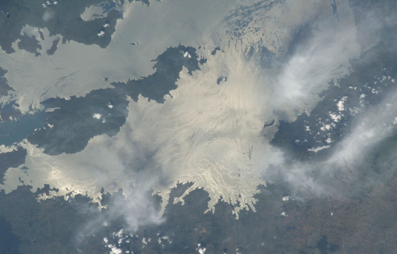
Idjwi lies in the Democratic Republic of the Congo. Its long shape is visible in the astronaut photograph, with water on either side and steep land descending to the shores. The geological profiles place the island on higher ground between the two tilted sections of the basin.