
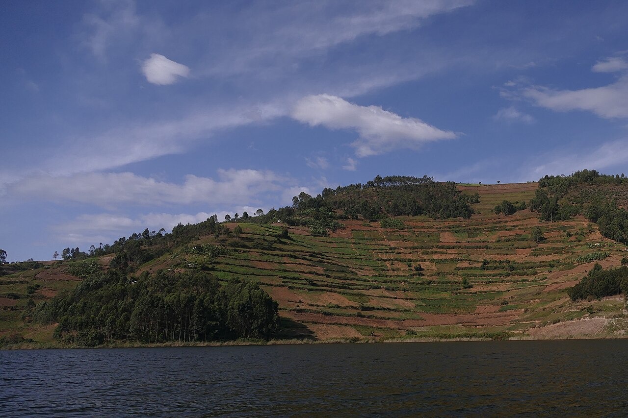
A Valley System Filled by Water
Lake Bunyonyi's shape reflects the flooding of an existing valley network, producing the branching shoreline and irregular outline visible today. The regional tourism directory identifies this drowned valley character as the defining feature of the landscape, distinguishing it from circular volcanic lakes found elsewhere in the region. The precise formation history, including the possible role of a lava dam, remains a subject of ongoing study.
Terraced Catchment Slopes and Runoff Monitoring
Agricultural terracing covers many of the cultivated hillsides that drain into the lake. A field study supported by the Uganda National Council for Science and Technology found that historic terracing was intended to reduce soil erosion on these slopes and examined the relationship between catchment runoff patterns and water quality at the shoreline. The study documents the terraced hills as an active part of the hydrological system feeding the lake.
Makerere University's 1972 Freshwater Survey
In 1972, researchers from Makerere University published a comparative freshwater study in the journal Freshwater Biology examining lakes across southwestern Uganda, including Bunyonyi. The survey recorded physical and biological measurements that placed Bunyonyi within a regional set of highland lakes, providing baseline observations against which later shoreline and catchment studies have been referenced.