
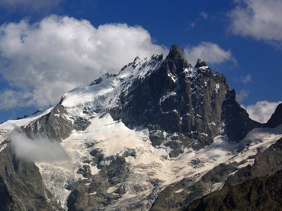
From Occitan to French: a place name in several stages
The mountain's current name is the result of the progressive simplification of an older Occitan form. The first attested name, l'Agulha de la Meija, is Occitan: agulha means "needle" and commonly describes any particularly pointed mountain, while meija means "half, middle, moiety." The geographical position of the village of La Grave, directly to the north, illuminates this designation. The name was subsequently Frenchified and simplified to arrive at "la Meije."
An earlier name is also documented: in 1712, the mountain was referred to as "pointe Malaval." This name did not disappear from the local landscape — it was retained to designate the Romanche valley below, known as the combe de Malaval. This combe is overlooked by more than 1,000 meters by the Plateau d'Emparis to the north, and by more than 2,000 meters by the Dôme de la Lauze to the south.
Glacial retreat since the nineteenth century
The glaciers of La Meije have experienced continuous retreat since the mid-nineteenth century, coinciding with the end of the Little Ice Age. This withdrawal saw a particularly abrupt phase between 1943 and 1952, following a succession of sweltering summers, before resuming in earnest from the mid-1980s onward. At the beginning of the twentieth century, the glaciers of the Lautaret, the Tabuchet, and La Meije still had very flat terminal tongues whose fronts were receding high in altitude — a sign of dynamics already under way for several decades.
Position within the Écrins massif
La Meije occupies a marginal position within the Écrins massif, on its northwestern edge, in the Oisans hydrographic basin. Its location on the boundary between the Hautes-Alpes and Isère makes it a summit of contact between two administrative entities, a characteristic common to ridge summits in the French Alps. This frontier situation has helped make La Meije a strong visual landmark from the Romanche valley and the La Grave area.