
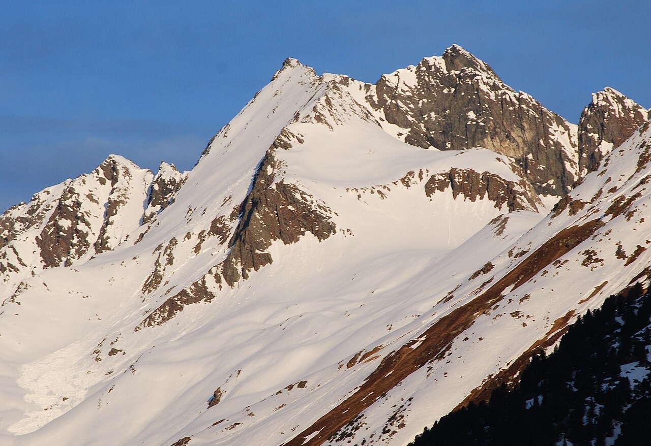
Ridge Position and Neighboring Summits
The Kreuzspitze stands at 3,084 m on the watershed ridge between the Falbeson and Alpeiner valleys, northeast of the Ruderhofspitze. An older Alpine Club hut guide records the same peak at 3,082 m. The neighboring Östliche Knotenspitze rises to 3,100 m on the same ridge, making it the higher of the two adjacent summits.
Glaciers on the Southern and Alpeiner Flanks
German Alpine Club documentation recorded the Jedlasgrubferner basin lying below the southern flank of the Kreuzspitze, describing a steep drop from the summit into that glaciated cirque. On the Alpeiner side of the ridge, a historical CIPRA route description recorded a rock spur dividing the two arms of the Knotenspitzenferner.
The Neue Regensburger Hütte and the Hohes Moos
The Neue Regensburger Hütte stands at 2,286 m in the terrain below the ridge. German Alpine Club records document its construction in 1930 to 1931 as a replacement for the older Regensburg hut in the Geisler Dolomites, with inauguration on 16 August 1931. A material cableway was added in 1961 to supply the hut. The hut sits near the elevated Hohes Moos wetland, fed by a stream draining from the Hochmoosferner, which is separate from the glaciers on the Kreuzspitze's flanks.