
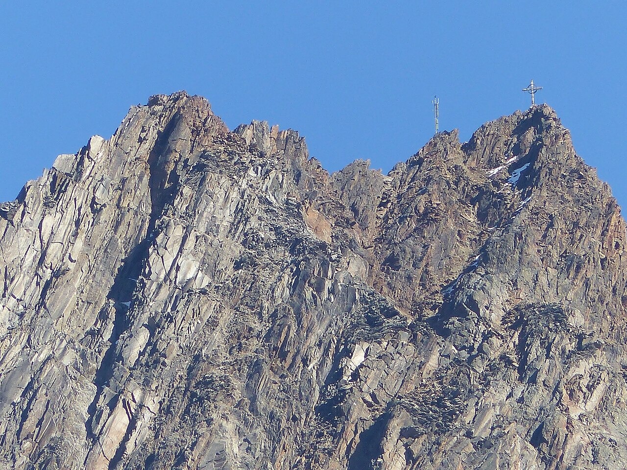
Valley Terrain and the Origin of the Name
The Tyrol State Archives historical gazetteer records the summit as Kreutz Sp. on maps drawn between 1816 and 1821 and attributes the name to a cross associated with prayers and processions linked to repeated ice-dammed lake outbursts at Kreuzberg. The peak rises above the multipart Kreuzferner. Alpine Club Museum records document that Franz Senn constructed a path from Vent to Zwieselstein and a trail over the Hochjoch.
The First Ascent and Brizzi's Panorama
Franz Senn and the guide Cyprian Granbichler made the first documented ascent in early October 1865, according to Alpine Club records. Senn commissioned a summit panorama from the artist Carl Brizzi, who is documented by the Ötztal Museums as having sketched from the mountain in 1868 and returned to complete his panorama in September 1869.
The 1869 Panoramas and Glacier Study
A second panorama, more topographically detailed, was produced in 1869 by Carl Jordan and Georg Engelhardt from the summit's compact rock viewpoint, capturing the Vernagtferner and Guslarferner below. A glaciology study later used those 1869 glacier details for direct comparison with an 1898 photographic postcard and a 2011 repeat panorama, illustrating how precisely the Jordan and Engelhardt work recorded ice extent at the time of its completion.