
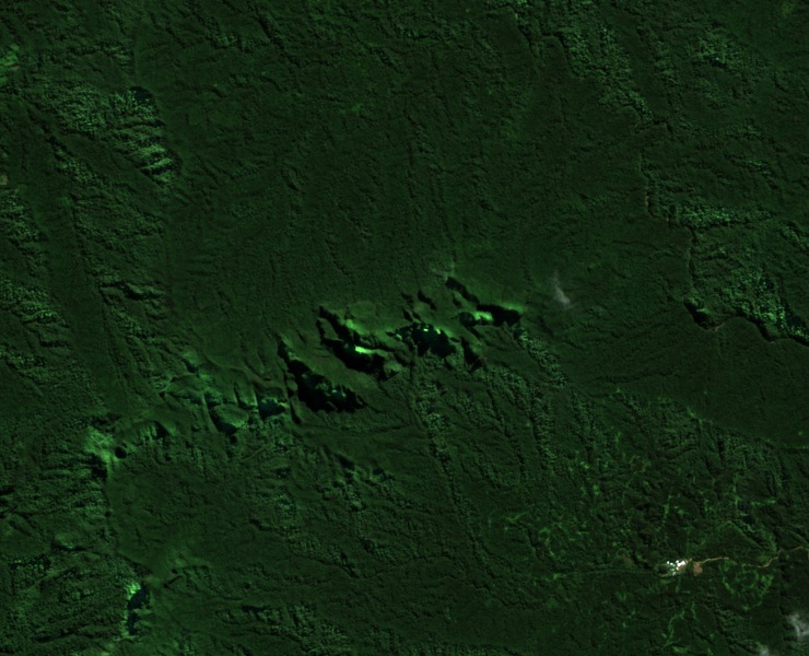
Ridges between river basins
The 2004 field report maps Korobasabasaga alongside the Medrausucu Range and Mount Naitaradamu. The ridges help divide the waters of the Rewa, Navua and Sigatoka rivers and of smaller streams that flow directly to the southern coast. The map marker indicates the central part of the range. Mount Korobaba, near the coast at Lami, is a separate hill.
Volcanic fragments above andesite
Geologists mapped a unit of fragmental volcanic rocks named for Korobasabasaga, above the older Namosi Andesite. Both units belong to the Medrausucu Group, which the joint survey assigned to the middle Miocene through the Pliocene. The succession records different episodes of volcanism in the island’s interior.
A ridge in the Sovi Basin bird area
BirdLife International included Korobasabasaga in its 2006 description of the Sovi Basin Important Bird Area, FJ09. The larger watershed stood out for its forest and the birds it supported, including species with restricted ranges. The survey counted Korobasabasaga among the forested ridges that help enclose the basin.