
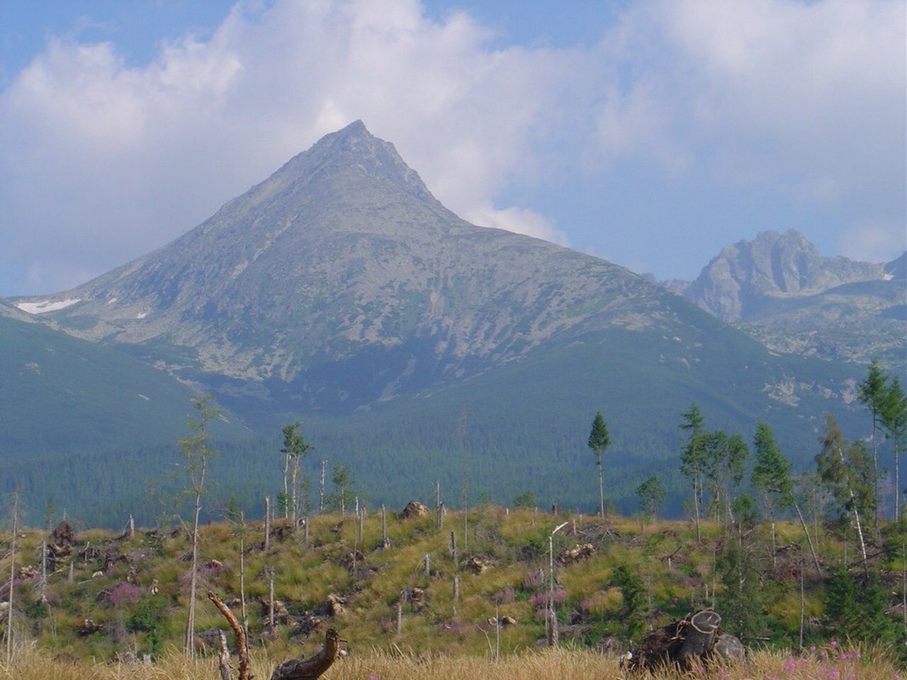
Summit Topography
The summit zone of Končistá spans three distinct tops arranged along the ridge, with its highest point recorded at 2,538 m in High Tatras tourism sources and local guides. The Slovak geographic names point list records 2,535 m.
Jármayho stôl
Jármayho stôl, meaning Jármay's table in Slovak, is the named boulder crowning the highest of the three summit tops. Local accounts describe it as resembling a horse's head or a blacksmith's anvil before a lightning strike damaged it in September 2019.
Early Ascent History
Local accounts suggest miners, poachers, and treasure seekers may have known the mountain before the era of recorded mountaineering, though these associations carry no reliable dates. A published mountain guide attributes the first documented ascent of the northern top to Alexander Münnich and companions in 1874.