
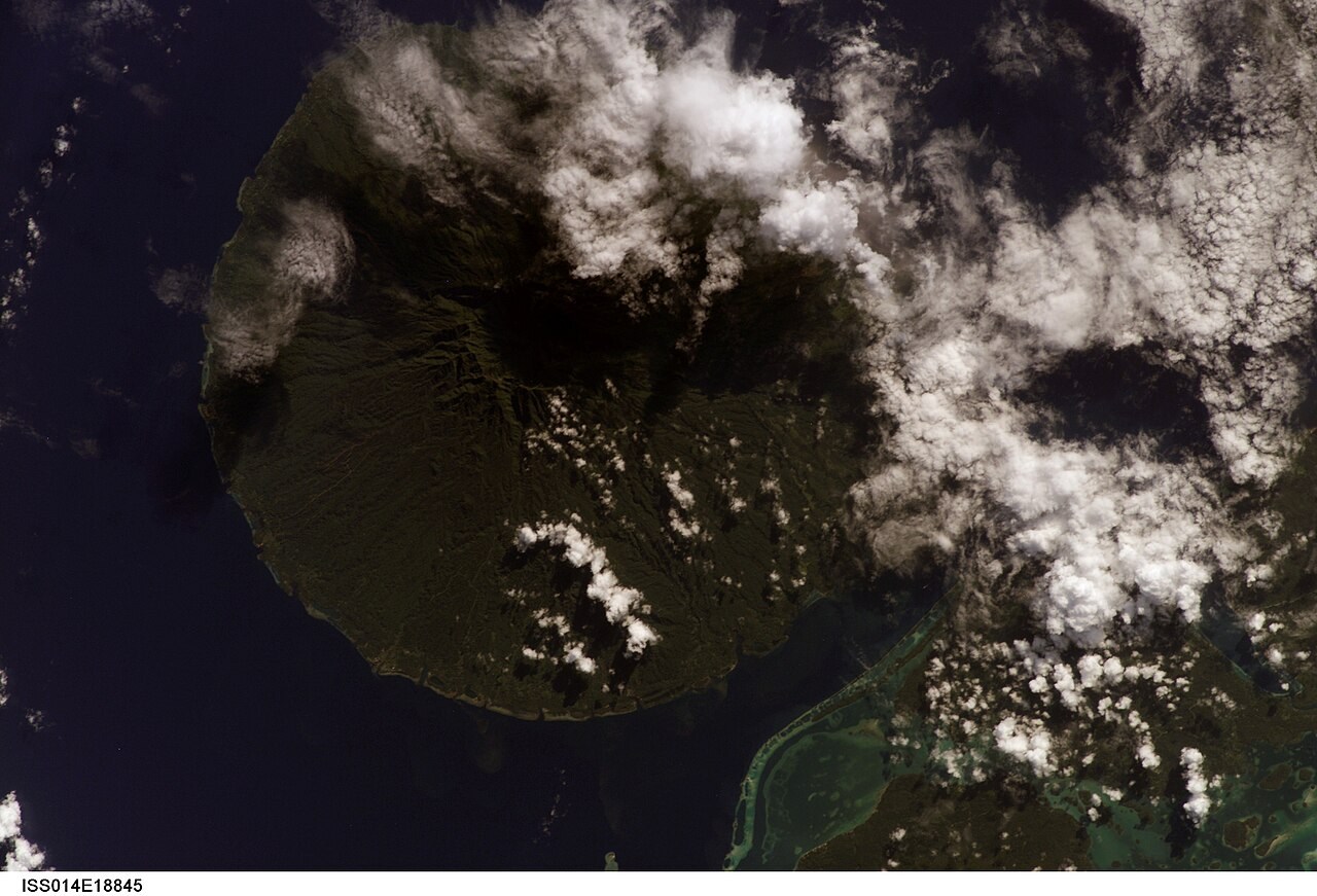
A Central Caldera on a Pleistocene Cone
The Smithsonian Global Volcanism Program catalogs Kolombangara as a Pleistocene stratovolcano reaching 1,760 m, with a summit region defined by a central caldera. Scoria cones on the western and northeastern flanks were built from loose volcanic fragments ejected around secondary vents, forming structurally simpler landforms against the layered main edifice below them.
Beacon Hill and the Contrast Between Domes and Scoria Cones
Beacon Hill, known locally as Ndughore, is a 650 m dome on the island. Domes form when viscous lava accumulates and swells upward near a vent rather than being expelled as fragments; scoria cones, by contrast, grow from ejected cinders and lapilli piling around a vent opening. Both landform types are present on Kolombangara, illustrating two distinct modes of volcanic construction on a single island.
Montane Rainforest from 700 Metres and the Caldera Landscape
The Solomon Islands government's UNESCO tentative-list submission includes Kolombangara's caldera and surrounding forest within a proposed Tropical Rainforest Heritage nomination. The submission records montane rainforest on the island beginning as low as 700 m — a notably low threshold for vegetation of that character — and identifies the caldera landscape as one component of the broader proposed site.