
A Landscape Carved by Ice
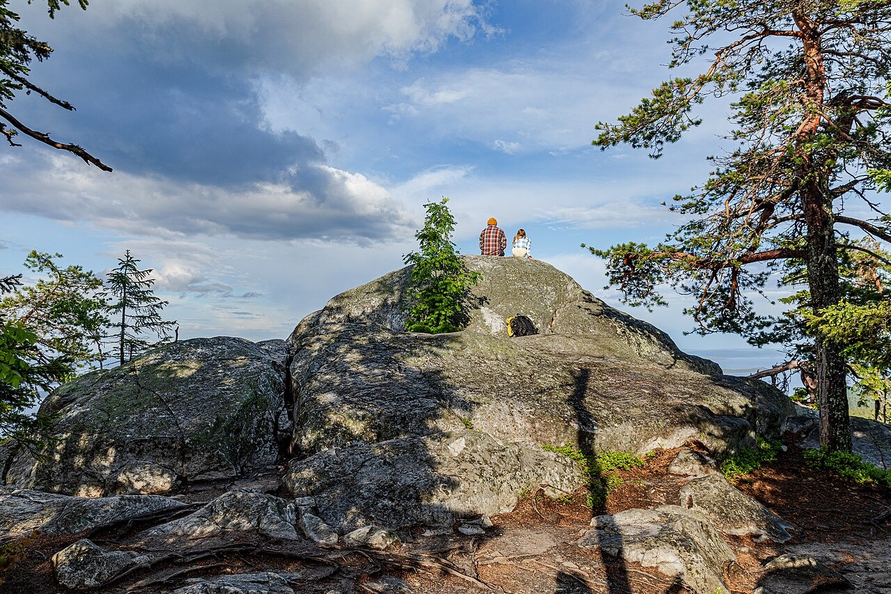
Metsähallitus explains that the hard white quartzite forming the Koli summits resisted erosion by the continental ice sheet more effectively than the softer rock around it, leaving the hills standing above an otherwise abraded terrain. Glacier polish and striations on exposed surfaces provide direct physical evidence of that ice movement. The European Geosciences Union identifies the narrow island chains visible across Lake Pielinen as glacial esker landforms, ridges of sediment deposited by meltwater flowing beneath the ice sheet.
Ukko-Koli and the National Landscape
The view from Ukko-Koli across Lake Pielinen carries official recognition: the Finnish Environment Institute designates the North Karelia lakeland among Finland's nationally valuable landscapes. That same panorama of water and boreal forest drew Eero Järnefelt, whose 1899 painting Autumn Landscape of Lake Pielisjärvi, held by the Finnish National Gallery Ateneum, records the Koli viewpoint at the close of the nineteenth century.
Koli National Park
The hills and their immediate surroundings are protected within Koli National Park, administered by Metsähallitus, which maintains geological interpretation of the site. The park's educational materials treat the quartzite outcrops, glacial markings, and esker islands together as a readable record of Fennoscandian ice age geology, connecting the summit rock directly to the broader lake basin it overlooks.