
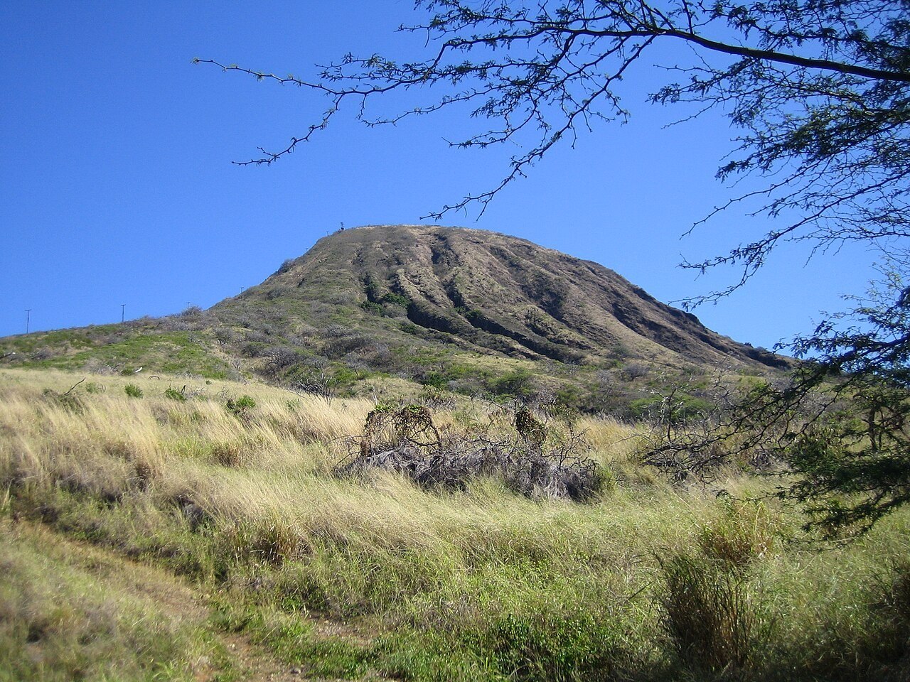
Geology and Tuff Formation
Kohelepelepe's walls are composed of bedded tuff, consolidated ash formed when rising magma met groundwater and exploded into fine fragments. The USGS treats Koko Crater's deposit as distinct from the adjacent Hanauma tuff cone. Successive layers settled, compacted, and hardened into the steep stratified walls visible today. No eruption date for the sequence has been verified.
The Crater Interior and Botanical Garden
The City of Honolulu designated the crater floor and inner slopes a botanical garden in 1958, a decision recorded by the city's Department of Parks and Recreation. The Koko Crater Botanical Garden retains the Hawaiian name Kohelepelepe, as do USGS records. The enclosed interior is notably drier than the surrounding coastline.
The Tramway and the Outer Slope
The exterior slope carries remnants of a former military tramway, now an informal hiking route. Koko Head District Park, administered by the Honolulu parks department, lies at the slope's base. The tramway ties climb the outer tuff face to the high rim at 368 meters, a stark contrast to the enclosed botanical garden within.