
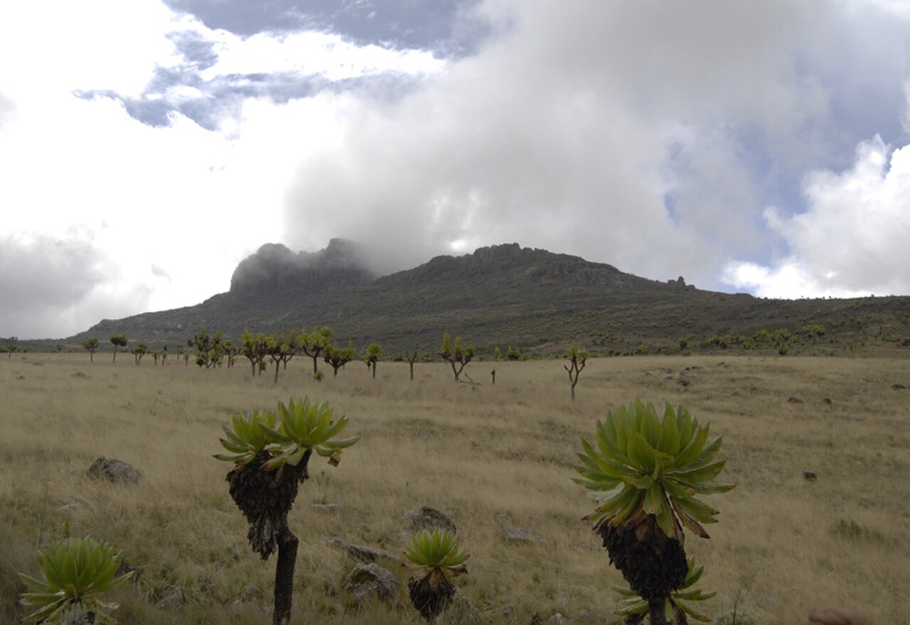
Flat-Topped Basalt Form on the Kenyan Flank
The summit platform of Koitoboss is characterised by flat-topped basalt, a surface expression of the layered volcanic geology common to Mount Elgon's upper elevations. This form distinguishes Koitoboss visually and structurally from the eroded caldera rim features found elsewhere on the mountain, and the Key Biodiversity Areas factsheet for Mount Elgon identifies the Koitobos rock as a discrete habitat unit within the broader alpine zone.
Altitudinal Vegetation Transect from Forest to Summit
A 1987 study published in the Journal of the East Africa Natural History Society and National Museums traced a continuous transect from montane forest to the Koitoboss summit. The researchers documented an interlocking heath and alpine belt rather than sharply bounded zones, with plant communities overlapping across elevational bands. Evidence of repeated fires was recorded along the transect, indicating that periodic burning has shaped the structure of the upper vegetation.
Alchemilla and Dendrosenecio Communities at the Summit
The 1987 transect described Alchemilla elgonensis scrub as a prominent component of the alpine belt approaching Koitoboss. The study distinguished two giant groundsel taxa by substrate: Dendrosenecio elgonensis occupying moist soils and Dendrosenecio barbatipes occurring on the well-drained slopes of the caldera rim. These fine-scale separations reflect the influence of local drainage and soil moisture on plant distribution at high elevation on the Kenyan flank.