
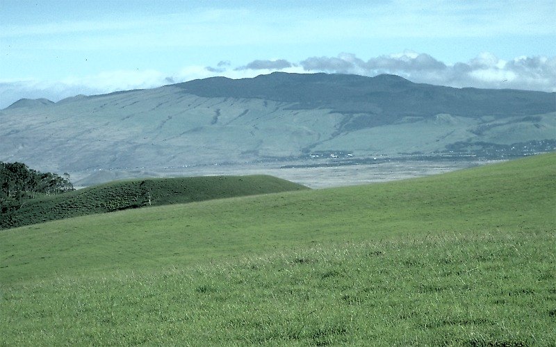
Geologic Units and Shield Development
USGS mapping of Kohala identifies two principal volcanic units: the older Pololū Volcanics, which form the bulk of the shield, and the younger Hāwī Volcanics, which represent a later phase of volcanic activity and include late-stage lava domes. These mapped units trace the volcano's progression from main shield-building eruptions through a postshield stage. According to the Smithsonian Global Volcanism Program, postshield lavas likely buried an older summit caldera, though this is an interpretation based on the mapped stratigraphy rather than direct observation.
The Northeastern Valleys and Submarine Deposit
The northeastern flank of Kohala is cut by large, steep-walled valleys, including Waipiʻo, which sit near the headwall of the offshore Pololū debris avalanche deposit. The Smithsonian Global Volcanism Program describes this submarine deposit as extending roughly 130 kilometers to the northeast. The present valleys and the submarine deposit are associated landforms, though not every valley was necessarily formed in a single moment by one discrete event.
Erosion and Long-Term Landscape Development
As the island's oldest exposed shield, Kohala has been subject to extensive erosion over its long history. The deeply incised northeastern valleys reflect the cumulative effect of rainfall and stream erosion on older, weathered terrain. This landscape records both volcanic construction and prolonged erosional modification.