
Geology of the Channel
The headlands consist of hard sandstone of the Peninsula Formation, part of the Table Mountain Group. Knysna Museums describes how the river cut down through fractured rock as the coastal land rose. Later the sea entered the lower valley. Tidal water now passes through the gap the river cut.
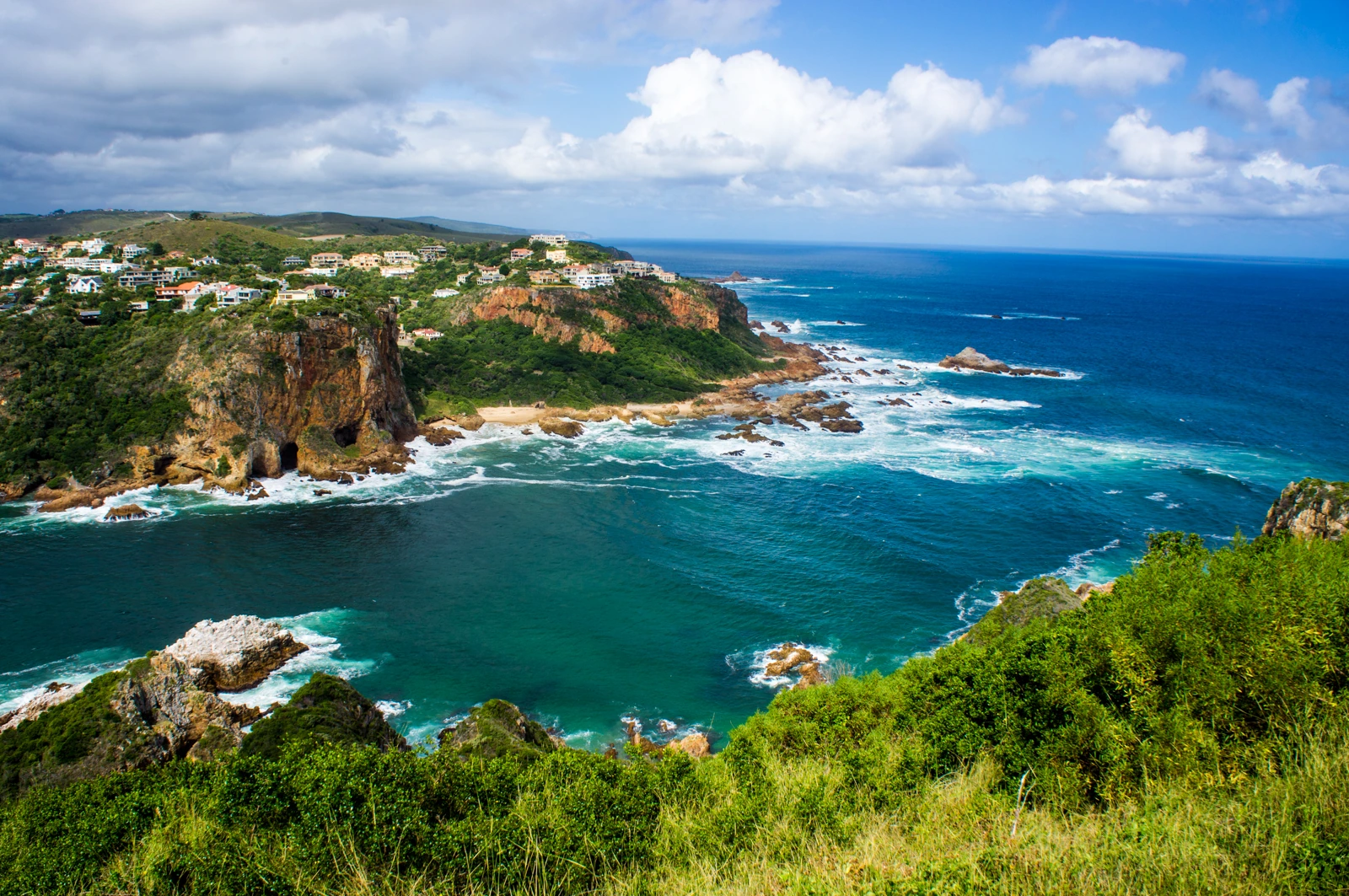
In the photograph taken from Featherbed Nature Reserve in February 2013, the cliff of Eastern Head rises from the channel. From this position on the western side, the reef and rocks at the mouth are visible in the surf.
The 1817 Surveys and Early Crossings
In 1817, the brig Emu struck a submerged rock and was run onto a sandbank inside the estuary. That year Commander James Wallis surveyed the mouth and took HMS Podargus through the channel near Western Head to retrieve the cargo. Knysna Museums documents the episode alongside its model of the ship.
John Benn was among the pilots who later guided vessels between the Heads. Learning where the deeper channel ran was part of the job.
Wrecks and the Rocket Rescue System
In June 1897, the wreck of the Fredheim was the first test of the rocket rescue equipment. Knysna Museums records that rockets carrying lines were fired toward the ship. The crew could not reach the lines, so the pilot John Benn and his crew rowed out to rescue them. On 18 October 1903, the sailing vessel Paquita ran aground near Eastern Head.
Protected Status and the Tidal Link
The Knysna Estuary and surrounding land were proclaimed a Lake Area in 1985. The 2022 SANParks assessment records this step in the management of the estuary. Regulations for the Knysna Protected Environment followed in 2009.