
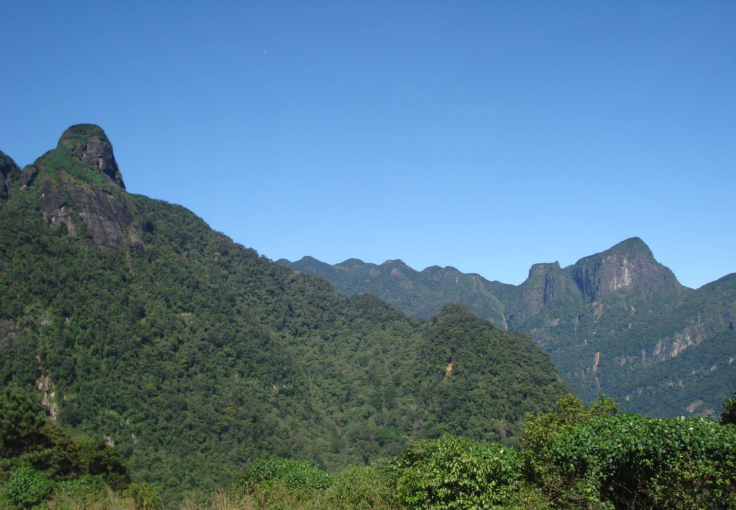
Two Names from One Ridge
The Sinhala toponym Dumbara predates the English name and remains current in Kandy and Matale communities. Tourism documentation from Central Province identifies a five-peak ridgeline silhouette as the visual feature responsible for the English designation, while the UNESCO nomination dossier documents the full landform as a coherent range containing additional summits beyond the characteristic five-peak profile.
Staged Conservation Protection
Sri Lanka gazetted approximately 3,167 hectares of private lands within the Knuckles reserve boundary in 2007. In 2010, the Knuckles Conservation Forest was inscribed as one component of the serial World Heritage property Central Highlands of Sri Lanka, alongside Peak Wilderness and Horton Plains as geographically separate components of the same nomination.
Montane Forest and Endemic Taxa
The range's ridgelines and valleys above Kandy and Matale support montane and cloud-forest habitats documented in the UNESCO nomination dossier to harbour endemic plant and animal taxa. The conservation forest's upper elevation of 1,906 metres forms the ceiling of this altitudinal habitat stack, descending through forest types that shift with altitude and aspect.