
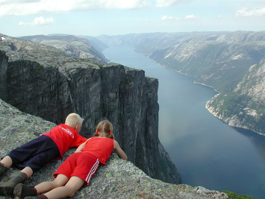
The Fjord and Its Glacial Walls
Lysefjord follows a course determined by underlying bedrock structures, and its near-vertical walls were shaped by glacial erosion over geologic time. The combined effect of structural alignment and ice-carved relief produces the extreme verticality visible along the fjord when seen from the plateau above.
Kjeragbolten: A Rock in a Fissure
At the upper end of a fissure in the cliff face, a boulder called Kjeragbolten sits wedged between the opposing rock walls. Contact with both sides of the gap holds it in place; how the boulder came to occupy that position is not documented.
Plateau and Cliff Together
The mountain presents two distinct landforms in immediate proximity: a broad summit plateau at around 1,100 metres and cliff faces that fall roughly 1,000 metres to the fjord below. Where the flat highland meets the near-vertical drop defines Kjerag's character above Lysefjord in Rogaland.