
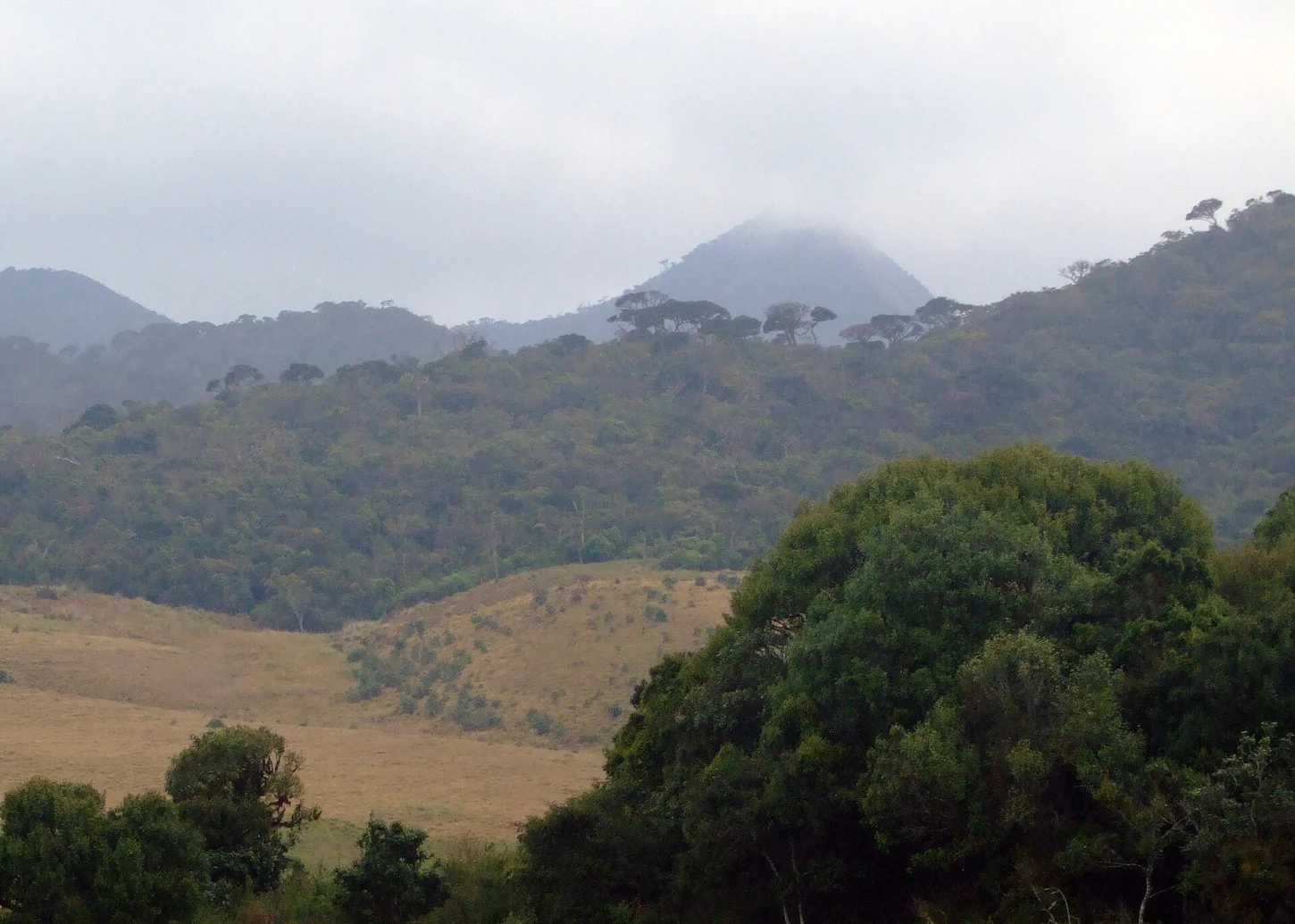
Western Rim and Plateau Relief
The summit rises above the approximately 2,200-metre tableland along the plateau's western rim, occupying a distinct position from Thotupola to the northeast and from the southern escarpment at World's End. This spatial arrangement gives Kirigalpoththa a structurally separate topographic identity within the same protected landscape.
Horton Plains National Park and World Heritage Inscription
Horton Plains was designated a national park in 1988. The broader Central Highlands property, of which Horton Plains forms one component, was inscribed on the UNESCO World Heritage List in 2010. The nomination recognised the area's catchment systems as a defining characteristic, with streams from the plains supplying water across a wide region of Sri Lanka.
Vegetation Transition Along the Upper Rim
The landscape shifts from open wet patana grassland across the tableland into denser montane cloud forest near the higher summits, a transition driven by elevation and persistent mist above roughly 2,000 metres. Kirigalpoththa's summit marks the upper extent of this gradient on the plateau's western side within the inscribed component.