
The First Ascent
In June 1952, Keith Hart and Elton Thayer of the Alaska Alpine Club reached the summit of King Peak, completing its first documented ascent. A second independent party also operated on the mountain later that season; the two expeditions are distinct and should not be conflated despite the shared year.
Schoening Ridge and the Northern Approach
Pete Schoening led a separate 1952 expedition that established a route on the northern side of King Peak, independent of the Thayer party's line. Alpine Club reports subsequently named this feature Schoening Ridge, documenting it as a distinct route on the peak rather than a variation on any line associated with nearby Mount Logan.
Terrain and Position
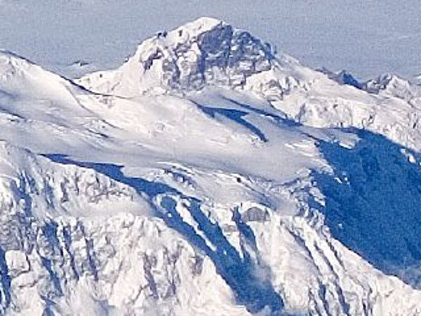
King Peak rises as a glaciated pyramid west of Mount Logan within the Saint Elias Mountains. Its commonly cited height of approximately 5,173 m reflects current usage; historical expedition figures differ and should not be equated with it. The peak's proximity to Logan has shaped its description, though its climbing record stands independently.