
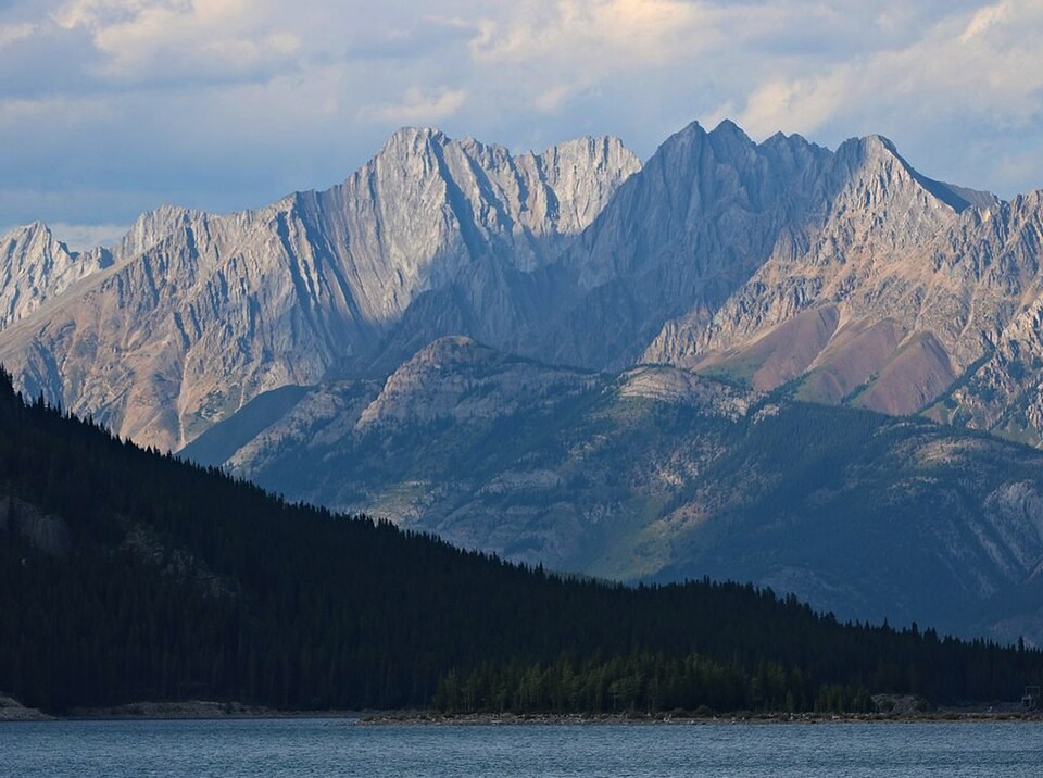
Landform and Setting
The ridge occupies the Opal Range and is distinct from the King Creek day-use area, which Alberta Parks locates in the valley between the ridge and Mount Wintour. Viewed from above Kananaskis Lake, the ridge appears as the lower feature in the middle distance, with Mount Evan-Thomas and Mount Packenham rising behind it.
Human Record and Photography
David Nichols photographed the view looking south from the ridge in 1916, recording both valley sides at that time. A repeat photograph taken from the same vantage point in 2012 shows the midsection slopes bearing evidence of fire while the top of that section appears to have been spared. The Alpine Club report discussing these paired images cautiously links the burning to a severe 1910 fire season without establishing that date as fact.
Stoney Nakoda Name
The Mountain Legacy Project credits Stoney Nakoda First Nations with the name Kiska tha Iyarhe, glossed by the project as meaning Goat Mountain. This attribution belongs to the project and community record. Mountains called Goat Mountain exist elsewhere in the region, and the name carries no claim of exclusive or officially registered status.