
Terrain and Urban Form
The Kigali 2020 master plan mapped the city's topography in overlapping layers — slope gradients and wetland buffers — alongside development constraints for the valley floors. Kimironko sector sits within this framework as a ridge-and-valley landscape where the upper slopes carry a dense built fabric of commercial and residential use. The lower terrain transitions into alluvial ground where drainage converges toward the wetland corridor.
The master plan's Kimironko Urban Design layer proposed a redesign of Kimironko Market and new transport connections for the sector, reflecting planning intentions at the time of the report's publication.
Population and the City Fabric
Rwanda's 2022 national census recorded 61,733 residents in Kimironko sector, placing it among the more densely settled parts of Gasabo District. Kimironko Market stands as the most visible landmark of the area's commercial character, and the master plan sought to build a coherent framework around the ridge corridors where that activity is concentrated.
Nyandungu Wetland and Its Restoration
The Nyandungu Eco-Park covers approximately 121.7 hectares of lower-lying ground straddling the sectors of Kimironko and Ndera in Gasabo District and Nyarugunga in Kicukiro District. The Rwanda Environment Management Authority initiated the restoration project in 2016, and the park opened to the public on 8 July 2022. At opening, planting of 17,000 trees drawn from 55 indigenous species had been completed, and the site includes five water-catchment ponds and three recreational ponds, together with reed beds designed to reduce pollution entering the wetland. These figures are as reported by the Rwanda Development Board and represent the project as constructed rather than subsequently verified ecological outcomes.
A 2023 field inventory conducted by the University of Rwanda Centre of Excellence in Biodiversity recorded 260 plant species within the park, of which 210 were identified as native. An earlier survey in 2021 had recorded 132 plant species. The report notes possible differences in sampling effort between the two surveys, so the figures should not be read as a direct measure of restoration. REMA's broader catchment documentation also extends to the Remera area, meaning boundaries cited across different reports do not always refer to the same perimeter.
Landscape in Context
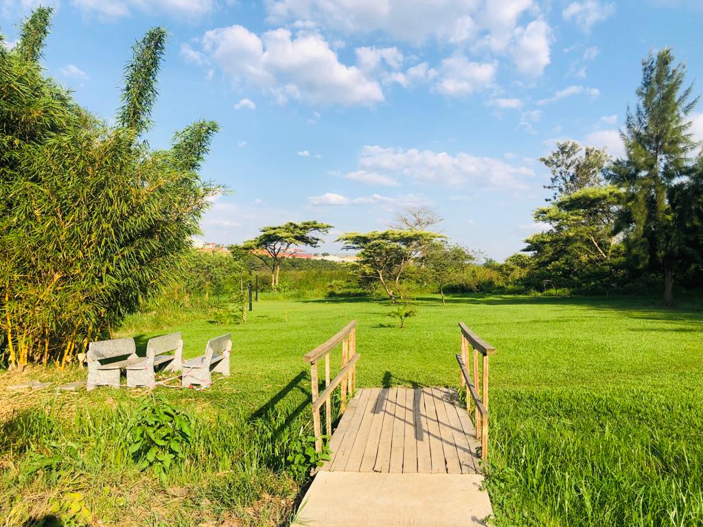
The Nyandungu wetland sits at the lower end of an urban watershed that a REMA baseline study described as a stressed water system under pressure from Kigali's expansion. The park's reed beds and retention ponds were designed to intercept runoff and reduce pollution loads as water moves through the valley. The footbridges and open green space that have been accessible since the 2022 opening give visitors direct experience of the same lower terrain that the reed beds and ponds were built to manage.
Kimironko's ridges and the Nyandungu wetland occupy the same urban landscape at different elevations. The 2020 master plan treated this vertical relationship — slope, soil classification, wetland buffer — as the organising logic for the sector's development constraints, connecting topography to land use in a city where the two have rarely been straightforward to separate.