
Volcanic Architecture
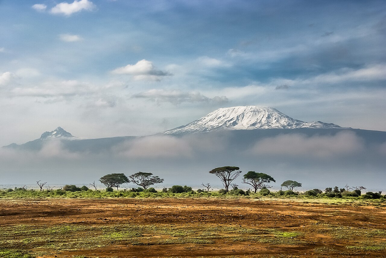
The mountain's uppermost summit, Uhuru Peak, sits on the crater rim of Kibo, the dominant and dormant central cone. Kibo's dormancy is not complete silence: the Smithsonian Global Volcanism Program records active fumaroles within the crater. Shira is a collapsed volcanic structure rather than a standing cone, and Mawenzi presents a heavily eroded mass. Together, the three centers define a massif of considerable horizontal extent.
Ecology from Forest to Ice
The altitude gradient on Kilimanjaro produces a tightly compressed sequence of ecosystems. The lowest slopes carry scrub and cultivated land, which gives way to montane forest, then to heath and moorland — zones where giant heathers and tree-sized lobelias are characteristic plants — before yielding to open alpine desert and finally the summit zone. This compression of biomes across a single vertical span contributed to Kilimanjaro National Park's UNESCO World Heritage inscription in 1987. The park itself was established in 1973.
Receding Summit Ice
The ice fields crowning Kilimanjaro's Kibo summit sit far above the equatorial forest below, glacial formations distinct from any seasonal snowfall. A 2009 study published in the Proceedings of the National Academy of Sciences combined historical ice maps with aerial photographs and ground observations to document their retreat: in 1912, Kibo's ice cover measured 12.06 square kilometres. By 2007, that figure had fallen to 1.85 square kilometres, a reduction of approximately 85 percent over less than a century.
The 1889 Ascent and Its Participants
Local communities had long known the mountain before European documentation. In 1889, the party of German geographer Hans Meyer and Austrian mountaineer Ludwig Purtscheller made the first documented ascent to the summit now known as Uhuru Peak. Tanzania National Parks credits senior porter Yohani Kinyala Lauwo of Marangu as a member of that climbing party.