
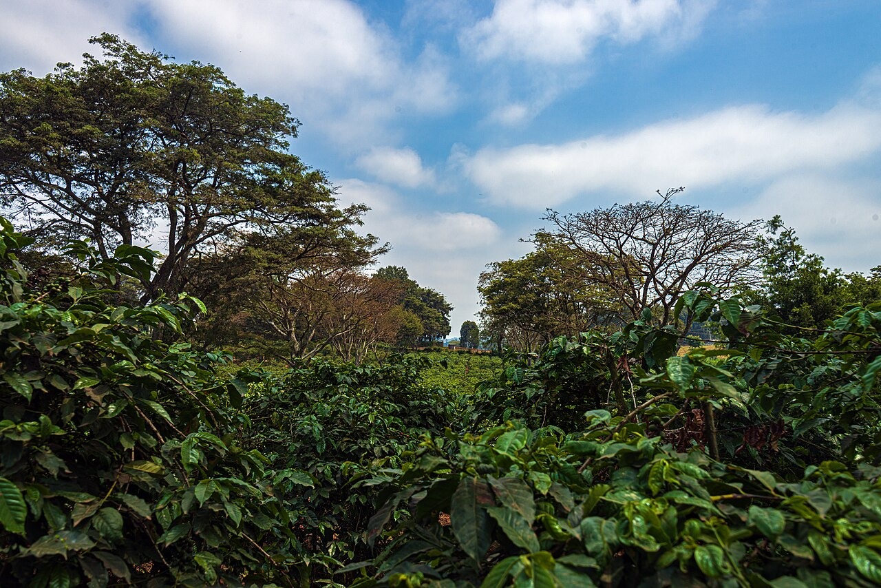
Volcanic Terrain and Deep Soils
Kiambu's urban planning geology maps identify basalt north of the town's central business district, with dolerite and gabbro recorded elsewhere across the planning area. The county's integrated strategic urban development plan documents deep Nitisols across portions of this volcanic terrain, citing these soils as a documented factor in the establishment of historical coffee estates on the upland slopes.
Coffee on the Highland Estates
Coffee cultivation has been historically distinctive on the Kiambu uplands. Sasini, one of the estate operators with recorded presence in the county, documents coffee-growing operations on the rolling highland slopes. The landscape visible at Fairview Estate illustrates the pattern of field cultivation across the broken topography that the county's slope analysis specifically identifies, with steep hills alternating with river valleys across the mapped planning area.
Riparian Valleys and Conservation Land
The Kiambu integrated strategic urban development plan's slope analysis flags steep terrain and river valleys as features requiring particular land-use attention, with conservation designations applied along riparian corridors. County mapping distinguishes forest cover in the highland zones from the farming patterns recorded at lower elevations, tracing a differentiated landscape from the forested Lari highlands down through the cultivated slopes toward the urban fringe north of Nairobi.