
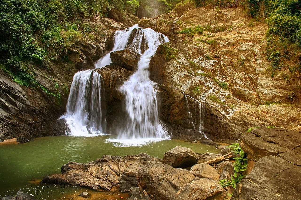
Watershed and Krung Ching Valley
The Department of National Parks established Khao Luang National Park in 1974, designating the forested slopes as a watershed for the lowlands of Nakhon Si Thammarat. The Krung Ching valley and its waterfalls lie within the park's protected landscape, extending from foothill forest through river valleys toward the summit massif.
Forest Stratification on the Slopes
The Forest Herbarium of Thailand documents lowland tropical evergreen forest in the submontane zone and persistently wet montane habitat at upper elevations. Frequent cloud immersion sustains a distinct plant assemblage adapted to saturated conditions and reduced light, as recorded in Herbarium collections from this locality on Khao Luang.
Herbarium Collections
The Forest Herbarium's e-Flora of Thailand records botanical collections from Khao Luang in Nakhon Si Thammarat Province, linking herbarium specimens to plant communities distributed across the mountain's elevational range from humid lowland forest to wet montane habitat.