
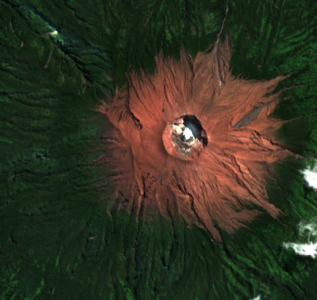
The shape of the northern rim
A true-colour Sentinel-2 image from 27 May 2025 shows the northern arc and the deep channels that fan out from the bare upper slopes. Indonesia’s Geological Agency describes the volcano as a stack of andesite and basaltic andesite lavas interleaved with pyroclastic deposits. The crater cuts into the upper cone, leaving a sharp edge visible in the satellite view.
The 1878 ascent from the north
In his account published in 1933, botanist Albert Frey-Wyssling cited a Central Sumatra expedition report describing a five-day ascent from Lubuk Gadang in 1878, with a vertical difference of 3,360 metres. A 2011 geological inventory also documented the northern approach, via the Liki valley and up the Timbulun river valley to the crater rim.
A crater floor that changed
Frey-Wyssling made his own observations on the southern approach. Looking into the crater, he saw gas bubbling up through the green lake. Figure 13 of his paper shows the crater as he encountered it. Indonesia’s National Disaster Management Agency documents a later change. Between 19 January and 18 March 1938, a series of steam-driven eruptions formed a small cone on the crater floor.