
Two Recorded Elevations
The Bangladesh Tourism Board attributes 986 m explicitly to a handheld GPS reading, a method that captures ellipsoidal height above a reference ellipsoid. The summit sign, documented in Bandarban District government materials and physically present on the mountain, reads 967 m. Public government pages conflict about the peak's national rank among Bangladesh's summits, and no single authoritative source resolves that question.
Pasing Para and the Summit Marker
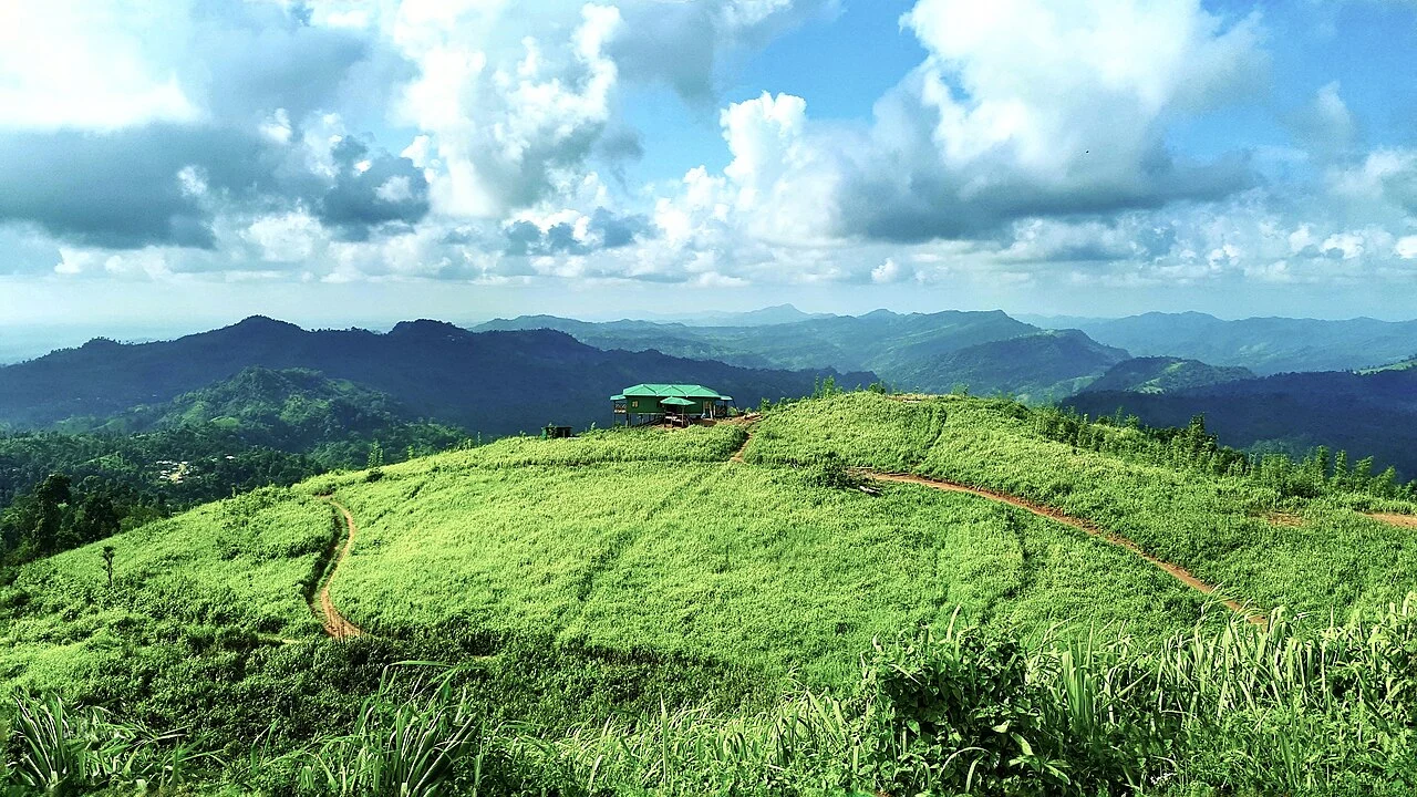
District materials place Keokradong near Pasing Para in Remakri Prangsha Union. The summit holds a small shelter and a marker, both documented in Bandarban District sources. A district photograph records a flag-raising ceremony at the summit on 16 December 2005, evidencing organized presence at that elevation on that date.
GNSS Survey and Geoid Modeling
The Survey of Bangladesh conducted technical work comparing Keokradong, Tajingdong, and Saka Haphong using GNSS instruments and geoid modeling. Geoid modeling converts satellite-derived ellipsoidal readings into elevations referenced to mean sea level; differing geoid models can produce divergent results. The Inter Services Public Relations directorate of Bangladesh has referenced this national survey effort.