
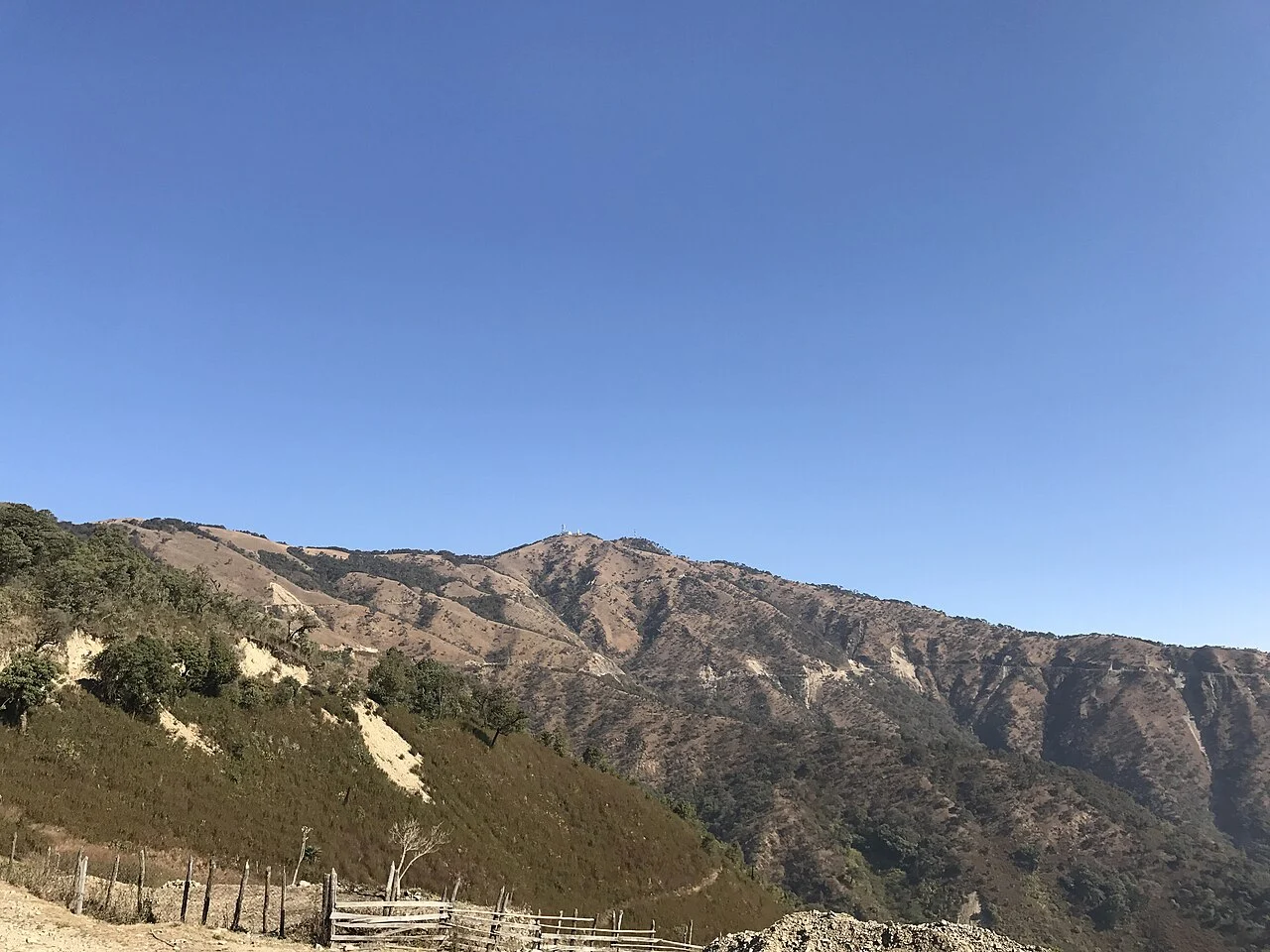
Chin Hills Landform and Indigenous Name
The peak sits at 23.3175°N, 93.7617°E. A May 2020 Myanmar Digital News report describes pine, cherry, and rhododendron vegetation at the summit and records an elevation of 8,871 feet. World Ribus lists the height as 2,703 metres. Abhinoy Halam records the name Thuamvum in History and Culture of the Halam Tribe, and Vumson's Zo History uses the same name, attributing it to the local area and connecting it to the Sizang migration into the Chin Hills.
British Survey Mapping
The British Library holds map sheet HIND/SEA/E/547 at a scale of 1:31,680 covering the Kennedy Peak area. It drew from aerial photographs taken in January 1943. The first edition of the sheet appeared in September 1944 and the second in October 1944.
The 1944 Victoria Cross Action
The National Archives Victoria Cross register records an action at Kennedy Peak on 25 October 1944 by Ram Sarup Singh, Jemadar (acting Subadar), 2nd Battalion, 1st Punjab Regiment. He died after defending against a counterattack. The London Gazette of 8 February 1945 reported his posthumous Victoria Cross. The Imperial War Museums record MWY 53 includes staged reconstructions of the assault on Kennedy Peak.