
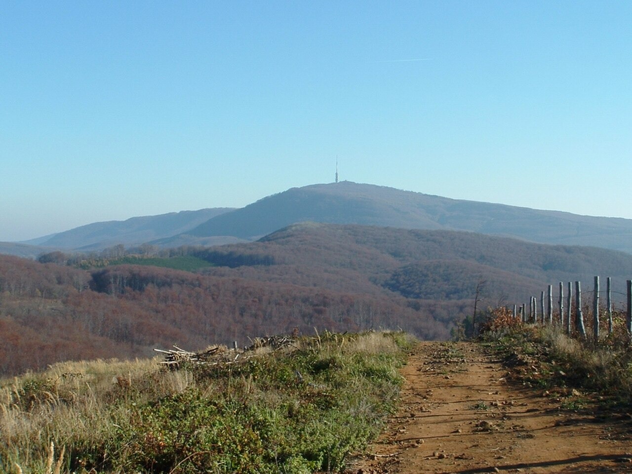
Volcanic origins and forest cover
The Mátra belongs to the inner Carpathian volcanic belt, and the Kékes block records a long history of eruption followed by sustained erosion that has shaped the present landforms. The Bükk National Park Directorate's interpretive material documents the resulting landscape as one of differentiated broadleaf forest habitats, where varying slope aspect, elevation, and soil depth produce distinct woodland communities across the massif. The summit area is referred to both as Kékes and Kékestető, the latter naming the broader high zone rather than a single point.
Weather and atmospheric observation
HungaroMet operates a weather station on Kékestető, situated slightly below the survey high point. Research published by the agency describes temperature inversions observed around the Mátra, in which mist or haze pools at lower elevations while the air above clears, a phenomenon that the summit's elevation places it in a position to intersect. HungaroMet's visibility research identifies the meteorological conditions that govern large viewing distances from elevated terrain in this region.
Summit structures
The broadcast tower on the summit skyline is a separate human structure operated and interpreted by its own management. The operator's documentation records its construction history alongside that of the summit stone. The two structures together have made Kékestető a recognisable silhouette from the surrounding forested ridges of the Mátra.