
Lower Toarcian Marine Brachiopods at the Kef Sidi Amar Section
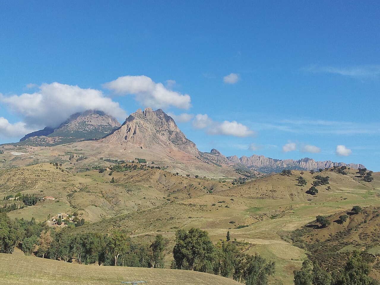
Limestone exposed at the Kef Sidi Amar section preserves Lower Toarcian marine brachiopods, documented in a field monograph on the Lower Jurassic of western Algeria published through Geobios. These fossils record a marine depositional environment for rocks now forming the summits and ridges of the Ouarsenis, placing the range within the broader story of Jurassic sea-floor sediment transformed into highland terrain.
Cedar Forest Beetle Diversity at Theniet El Had
The Theniet El Had forest, occupying the eastern portion of the Ouarsenis massif, was the subject of a 2014–15 beetle survey conducted by the University of Tlemcen. Researchers recorded 4,079 specimens classified across 68 taxa, documenting the coleopteran diversity present within this montane woodland and providing a baseline dataset for the ecology of the forest.
The Ouarsenis in the Northwestern Tell Atlas
The Ouarsenis forms a major relief unit within the northwestern Tell Atlas, the system of coastal and interior ranges defining the topography of northern Algeria. Kef Sidi Amar anchors the massif at its western summit, while the range's forested eastern highlands at Theniet El Had represent a connected but ecologically distinct part of the same mountain system.