
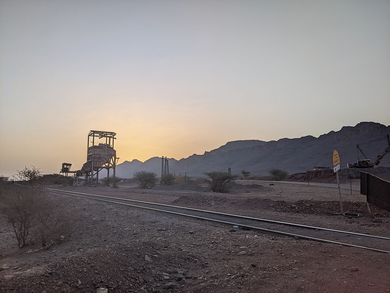
Commercial Iron Production and SNIM Operations
The Société Nationale Industrielle et Minière began commercial iron ore production at the Kédia d'Idjil deposit in 1963, establishing the operational foundation that continues today. SNIM's 2023 annual report identifies active extraction pits including Rouessa and TO14, each representing a distinct zone within the broader escarpment geology that field surveyors from SRK and other consultants have mapped across separate pit surveys.
Railway Link to the Atlantic Coast
Ore extracted at Zouérate travels west by a dedicated mineral railway operated by SNIM, covering approximately 700 kilometres to the Atlantic port of Nouadhibou. This route, one of the longest ore-haul railways in Africa, connects the inland mining region directly to deep-water export infrastructure and underpins Mauritania's position as a significant iron ore producer, as documented in United States Geological Survey mineral-site records for the country.
Escarpment Ecology and Key Biodiversity Area Status
The Kediet ej Jill escarpment holds designation as a Key Biodiversity Area, a classification recorded in the KBA global factsheet for site 6626. The UNECE environmental review of Mauritania also recognises the 915-metre high point and the surrounding terrain within national environmental assessments, reflecting the site's significance beyond its mineral resources to broader ecological monitoring frameworks in the region.