
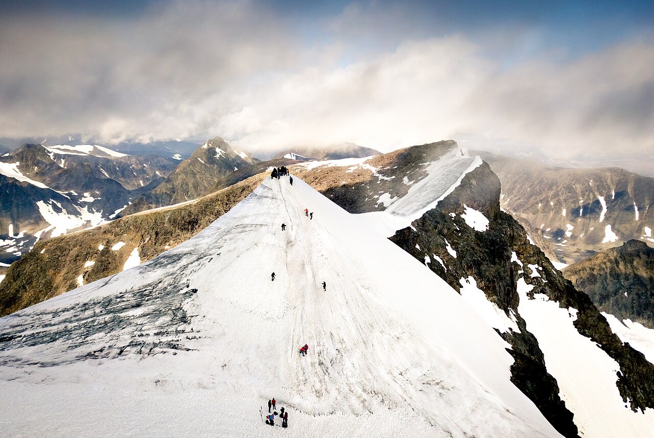
Two Summits, One Record
The bare-rock northern summit, Nordtoppen, stands at 2,096.8 m and is the fixed high point of Sweden. The southern summit, Sydtoppen, is covered in snow and glacier ice, and its elevation changes from year to year as that ice accumulates and melts. Stockholm University's Tarfala Research Station, which conducts annual late-summer surveys of Sydtoppen, identifies 2019 as the first year in its record from which Nordtoppen has remained the higher of the two peaks. In the late-summer 2025 survey, Tarfala researchers measured Sydtoppen at 8.4 m below the northern summit.
Measuring a Moving Surface
The annual Tarfala measurements are taken on a surface that is itself in motion. Each survey captures the elevation of the ice at a specific moment in late summer, after seasonal melt has reached its maximum extent. The resulting series documents not a fixed landform but the changing volume of glacier ice at the summit, making the record a direct expression of accumulation and ablation across individual years.
Storglaciären and the Tarfala Valley
Storglaciären, located in the Tarfala valley within the Kebnekaise massif, is monitored separately from the summit ice. The World Glacier Monitoring Service notes that Storglaciären carries an unusually long mass-balance series, making it a reference glacier for regional climate research. Its record reflects the interplay of winter snowfall and summer melt across its own ice body, and that dynamic is distinct from conditions at the exposed summit cap of Sydtoppen.