
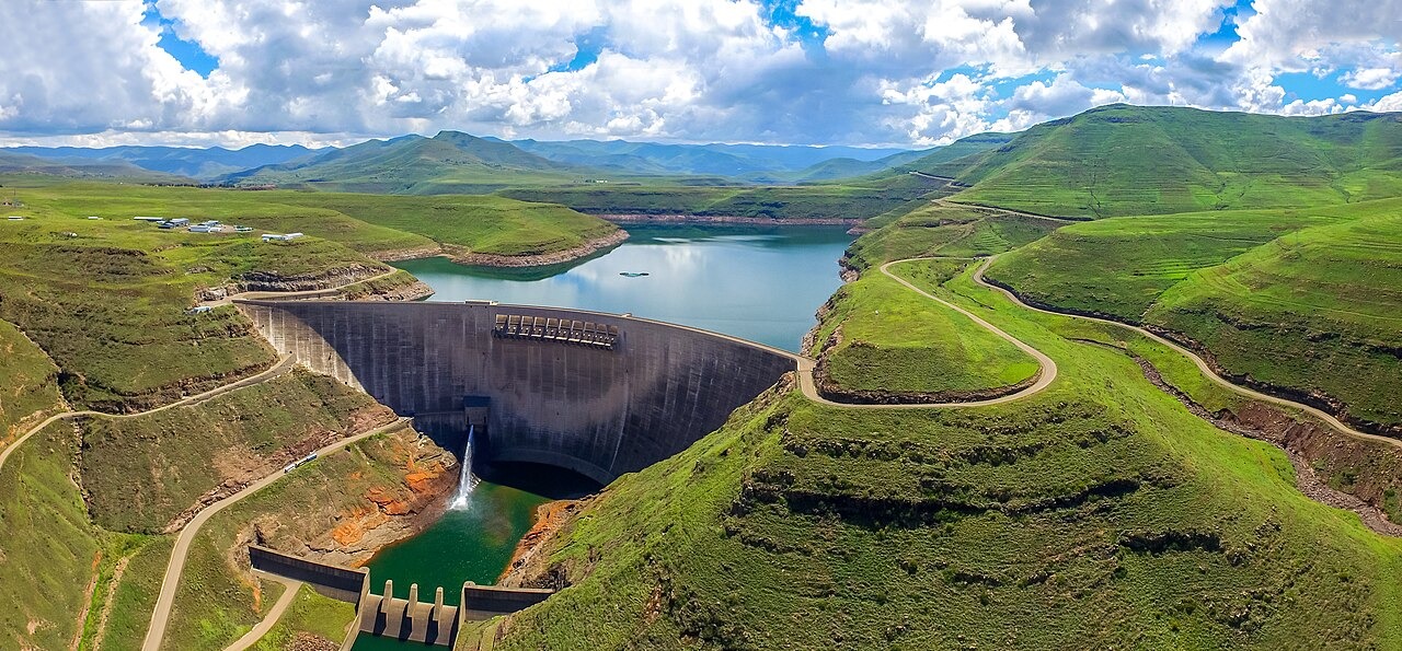
Drakensberg Formation Basalt and Joint Mapping at the Dam Site
The dam and its transfer tunnel are founded on layered basalt belonging to the Drakensberg Formation. Engineering geologists documented the orientation of cooling joints and flow contacts across the site, work recorded in studies published in Engineering Geology. The mapped joint sets informed foundation treatment decisions during construction and remain the primary geological record for the site.
Landsat Record of Valley Inundation, 1989 to 2001
The US Geological Survey Earth Resources Observation and Science Center holds Landsat imagery acquired before and after impoundment. A Landsat 5 scene from 9 March 1989 shows the branching Malibamats'o valley in its pre-construction state. A Landsat 7 scene from 2 March 2001 shows the reservoir at approximately 95% capacity, following the same valley geometry. NASA Earth Observatory has published analysis of these observations, illustrating how water extended along tributary arms as the reservoir filled.
Resettlement Research and Community Displacement Studies
Phase IA construction required the relocation of communities living in the Malibamats'o valley. Researchers affiliated with Kyoto University conducted field studies examining project impacts and social change among affected households, with findings presented through the university's African Studies program. Those studies document the scope and conditions of displacement without projecting longer-term outcomes beyond their observed period.