
Escarpment and Basin Relief
The Mlele escarpment forms the dominant structural edge of the Katavi landscape, dissected by watercourses that Tanzania National Parks has noted include waterfalls along their courses. Below it, the Katavi floor is low and rolling, where water spreads over the ground seasonally.
The uplands continue east into Mlele District. In the neighbouring Mlele Beekeeping Zone, researchers from Sokoine University of Agriculture described two plateaus separated by a steep scarp, with a handful of permanent streams and several that flow seasonally.
Land-Cover Change Across Three Decades
Mtui and co-authors, writing in PLOS ONE in 2017, analyzed dry-season Landsat imagery from 1984, 1999, and 2011 to track land-cover change across the Katavi-Rukwa ecosystem. Their analysis found that woody savannah increased over that period while shrublands and grasslands declined. The method matched imagery to comparable dry-season dates, though the authors acknowledged that historical classifications relied on inference where training data were limited. Tanzania designated Katavi a national park in 1974.
The Katuma River and Its Wetland Terminus
The Katuma River traces a hydrological arc through the Katavi landscape, rising in upstream forests, passing through rice-farming areas, and emptying into the Lake Katavi wetland, which in turn regulates outflow across the park toward Lake Rukwa, a lake with no surface outlet. A 2021 study published in Ecohydrology & Hydrobiology combined satellite altimetry, field hydrology, and hydrological modelling to characterize the river and lake system over the period 2013 to 2019.
Christopher Timbuka observed hippopotamuses in Katavi in 2009 and 2010. As shallower stretches dried, the animals gathered in the water that remained. He compared sites including Lake Katavi, Katisunga and Paradise Springs, where the water level fell more slowly.
Woodland and the Eastern Corridor
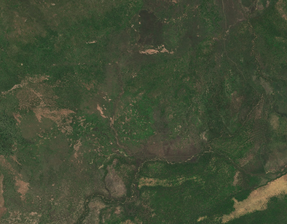
The 29 November 2025 satellite image shows some of eastern Katavi’s wooded uplands from above. The dark belts of vegetation trace the winding stream corridors where they meet more open ground.