
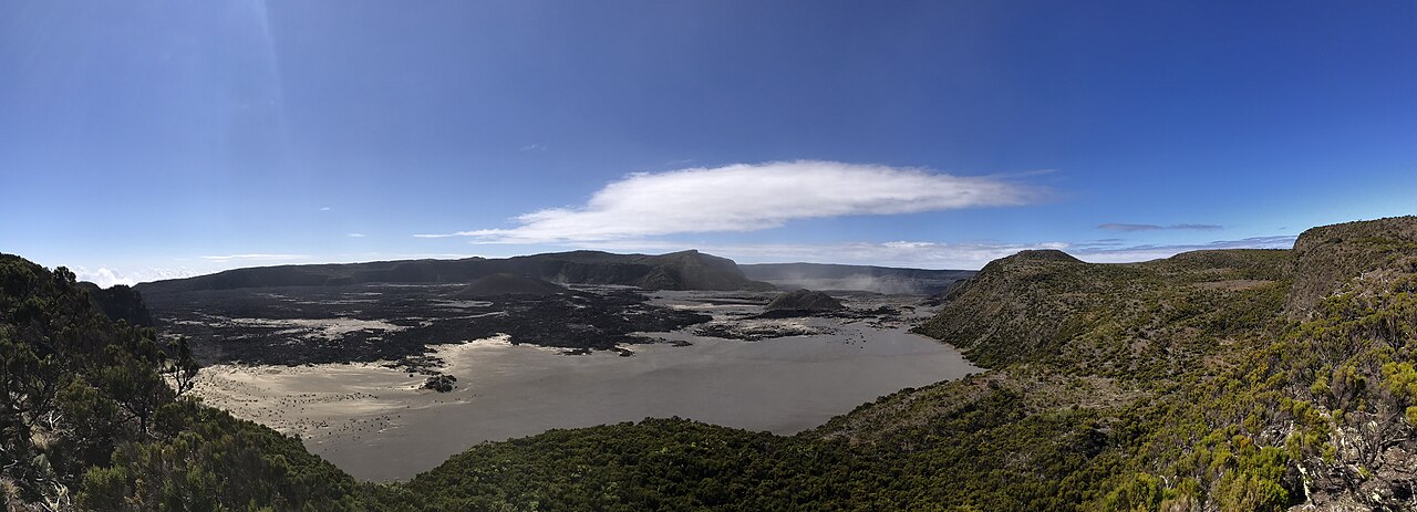
Shield Structure and Summit Calderas
The Smithsonian Global Volcanism Program describes Karthala as a basaltic shield volcano with two overlapping summit calderas each approximately 3 to 4 kilometres across. Two prominent rift zones extend from the summit in north-northwest and southeast orientations, along which eruptive vents have been located. The southern flank is comparatively steep relative to the broader shield flanks.
Lava flows from Karthala have reached the sea on its lower slopes, indicating the volume and mobility of its basaltic output across the relatively short distance from the summit vents to the Indian Ocean coastline.
The 2005 Eruptions
The Smithsonian Global Volcanism Program records two distinct eruptive episodes at Karthala in 2005, one in April and one in November, treated as separate events in its documentation. NASA's Earth Observatory recorded the November episode via its Terra satellite, which photographed a volcanic plume rising from the summit on 25 November 2005. NASA's reporting on that event notes that ash reached nearby communities.
Island Geography and Elevation
Karthala forms the southern and larger portion of Grande Comore, also known as Ngazidja, the largest island in the Comoros archipelago in the western Indian Ocean. The island is the product of two overlapping shield volcanoes, with Karthala to the south and a smaller shield to the north. Karthala's flanks extend from its summit calderas to the coastline in multiple directions.
The Smithsonian Global Volcanism Program records the summit elevation as 2,350 metres and NASA records it as 2,361 metres. Neither figure is treated as definitive over the other.