
An Island Shaped by Collapse
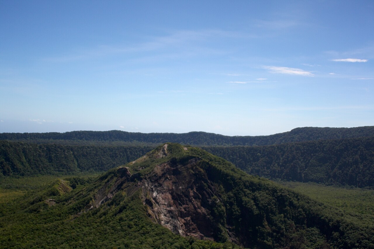
Karkar's topography is defined by two concentric summit calderas formed at different points in its history. The larger outer caldera spans approximately 5.5 km and was produced during one or more major collapses, the most recent of which occurred around 9,000 years ago. Nested within it is a younger, steep-walled inner caldera roughly 3.2 km across and about 300 metres deep, thought to have formed somewhere between 800 and 1,500 years ago. This sequence of nested collapses gives Karkar a distinctive double-rimmed summit architecture, with the younger inner depression sitting at the heart of the older, broader scar.
Bagiai Cone and the Historical Record
On the floor of the inner caldera stands Bagiai, a pyroclastic cone built up within that younger depression and surrounded by mostly unvegetated andesitic lava flows. It is from Bagiai that the island's documented eruption history begins, with records reaching back to 1643. Beyond the summit, cones appear on both the northern and southern flanks of the island, and a linear chain of smaller cones extends from the northern rim of the outer caldera toward the coast, tracing a structural lineament through the volcanic edifice.
Layers Exposed by Eruption
A 1979 explosive eruption stripped vegetation from a portion of the southern caldera wall, exposing the underlying sequence of volcanic layers that forest cover had previously concealed. That stripped section revealed the stacked eruption deposits beneath — a cross-section of Karkar's depositional history made legible by the eruption itself.