
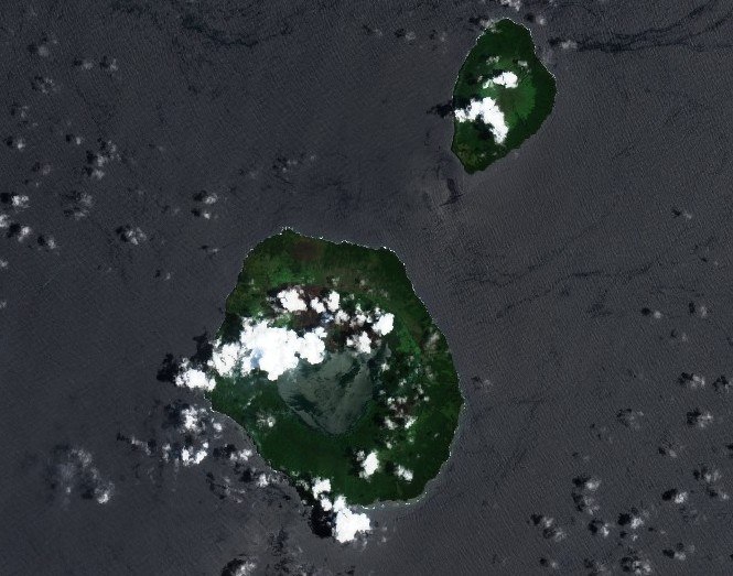
Form and Summit Structure
The GVP records Kao's summit as a cluster of several merged small craters rather than a single vent, a configuration consistent with repeated eruptive activity concentrated near the apex of the cone. The island's elongated plan reflects the alignment of these constructive centres along a northeast-southwest axis, giving the island its characteristic narrow profile when viewed from sea level.
Vegetation and Upper Terrain
Kao's lower and middle slopes support dense vegetation, a cover that thins progressively with altitude until the upper reaches become nearly bare. The GVP notes that the island's overall shape appears geologically youthful, though it draws a careful distinction here: that assessment rests on the form of the edifice rather than on identified fresh lava flows, which are not documented in the GVP summary. The youthfulness of the cone is therefore an inference from morphology, not from confirmed recent effusion.
The 1847 Observation
The only entry in Kao's reported eruptive history comes from 10 July 1847, when a missionary aboard a vessel at Tofua recorded what appeared to be smoke rising from the island. The GVP presents this as a dated observation rather than a confirmed eruption: the nature of what was seen — whether volcanic gas, steam, or something else entirely — remains unclear. No subsequent verified eruptive activity is recorded in the program's summary for the island.