
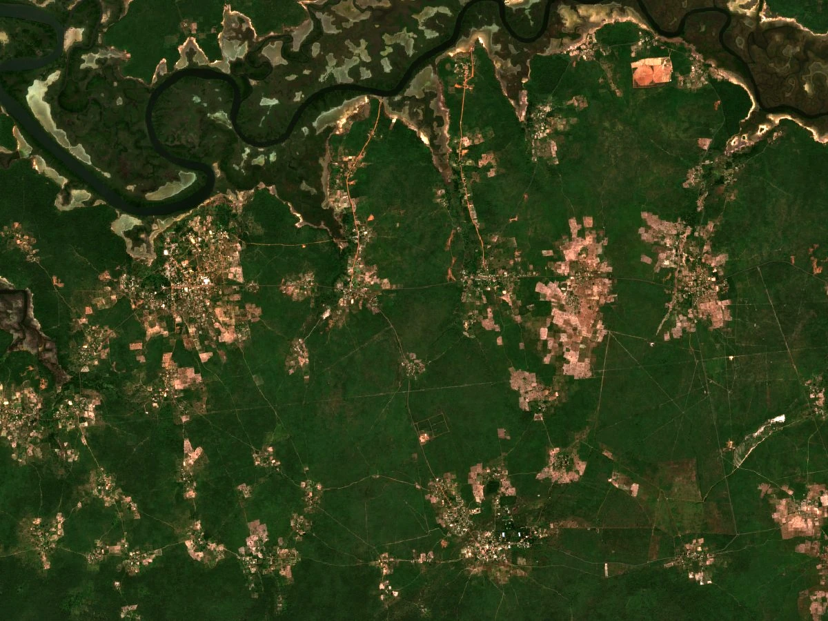
Satellite Forest Survey
In his 2020 University of Minnesota dissertation, Gambian researcher Nfamara K. Dampha mapped approximately 589 hectares of open forest in the area between Kanfenda and Kanilai, recorded in Table 3.7. Using a vegetation index derived from satellite data—a measure of how vegetation reflects light across different wavelengths—Dampha assessed the condition of that forest cover and identified sites considered candidates for potential protection.
Afforestation Initiative
A 2012 report from The Point documents a tree-planting event held near the Kanfenda junction on the road toward Kanilai. The effort brought together the environment and agriculture ministries, the Association of Wood Re-exporters and Forest Users, and local residents with the stated aim of launching a broader national afforestation initiative.
Kayegak Wrestling Tradition
The Gambia’s Intangible Cultural Heritage Register documented Kanilai’s traditional wrestling in 2023. Known as Kayegak in Jola and booray in Wolof, the contest brings two wrestlers together. A community practitioner called the Akittaw, or sometimes a flute player, leads the event.