
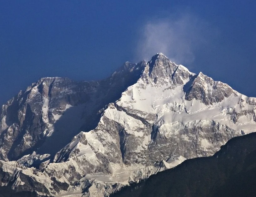
Position and Geography
The Kangchenjunga massif includes several separately named tops, among them Yalung Kang to the west and the Central and South summits. The main summit straddles the western boundary of the Indian Khangchendzonga National Park in Sikkim. UNESCO reports that the park contains the 26-kilometre-long Zemu Glacier and old-growth forests, with habitats ranging from subtropical to alpine zones.
First Ascent and Summit Tradition
The 1955 British expedition, led by Charles Evans, made the first ascents of Kangchenjunga. George Band and Joe Brown climbed to just below the physical high point on 25 May, followed by Norman Hardie and Tony Streather on 26 May. All four stopped short of the absolute summit in keeping with a promise made before the expedition to respect local sacred traditions. Sirdar Dawa Tensing led the high-altitude support. George Band's firsthand account appeared in the Alpine Journal the same year.
Sacred Status and Legal Recognition
UNESCO describes the area around Kangchenjunga as Mayel Lyang, a sacred landscape in Lepcha tradition, and as a beyul — a hidden sacred land — in Tibetan Buddhism. UNESCO's account also associates the mountain with Dzonga, Sikkim's guardian deity. The Sikkim government Gazette separately recognizes named sacred peaks within this landscape.