
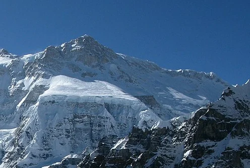
Location and Elevation
Kangbachen stands in Taplejung District, Nepal, as the westernmost major summit of the Kangchenjunga massif, situated beyond Yalung Kang. The government records its height at 7,903 metres while the Himalayan Database lists 7,902 metres. The name Kangbachen also belongs to a village in the valley below, so the two should not be confused.
First Ascent
The first ascent came on 26 May 1974, when Wojciech Brański, Wiesław Kłaput, Marek Malatyński, Kazimierz Olech, and Zbigniew Rubinowski reached the top under expedition leader Piotr Młotecki. Near the end of the summit ridge, beyond a rock tower, Olech identified two small snowy high points of uncertain relative height, and all five climbers ascended both.
The Route
The 1974 team approached via the Ramtang valley and icefall, establishing bivouacs at 7,100 metres, 7,300 metres, and 7,450 metres before traversing a high plateau to the summit ridge. They set up their base camp at a site previously used by a 1965 Yugoslav expedition that had attempted the mountain without reaching the top.