
The Summit on Historic Maps
H. Adams Carter's 1985 American Alpine Journal Himalayan catalogue lists P 6651 on page 138 as a separate entry within the Kamet Group, assigning coordinates of 30°57′02″N, 79°37′05″E and placing the summit northeast of Abi Gamin on the frontier ridge. Jan Babicz's 1992 indexed survey synthesis of the Garhwal Himalaya reproduces the same coordinates, identifies Abi Gamin as the southwest neighbor, and confirms the frontier ridge setting. A 1988 American Alpine Journal errata note adjusts the converted figure to 21,821 feet without revising the 6,651 m metric value, leaving that historical elevation unchanged across all three publications.
On historical maps, Peak 6,651 was marked simply by its elevation of 6,651 m, and that figure has served as its name ever since.
A Distinct Rise on the Ridge
A check against the 30 m resolution Copernicus GLO-30 global surface model identifies a local raster maximum of approximately 6,670 metres situated about 185 metres east of the published map reference point. An ascending catchment analysis of the surrounding terrain pixels places the connecting saddle between that high point and the neighboring ground toward Abi Gamin at approximately 6,521 metres, yielding a raster-derived prominence of roughly 149 metres.
A Copernicus surface estimate places the high point at approximately 6,670 m, roughly 19 m above the 6,651 m printed historical value. The approximately 149 m drop from the local maximum to its key saddle demonstrates how a separate rise fits along the crest toward the higher summit of Abi Gamin, distinguishing the elevation of the summit itself from the reduction in height between summit and saddle.
The Glaciers on Either Side
At the fourth camp in 1950 on the northeast ridge toward the completely separate, much higher summit of Abi Gamin, Kenneth Berrill looked down over the steep drop into the Raikane Glacier and saw the long sweep of the Gantug Glacier on the Tibetan side among rounded peaks. This first-person view illustrates the contrasting terrain falling away on the two sides of the ridge.
The 1950 expedition reached the summit of Abi Gamin on 22 August, with Dawa Thondup helping to establish the high camp the previous day and remaining there for the summit attempt. The climb described in Berrill's account was of Abi Gamin at the higher southwestern end of the ridge, a considerably greater objective than the 6,651 m summit to the northeast. The connection between the two summits along the frontier ridge gives P 6651 its geographical context within the same high crest.
The Kamet Range from Space
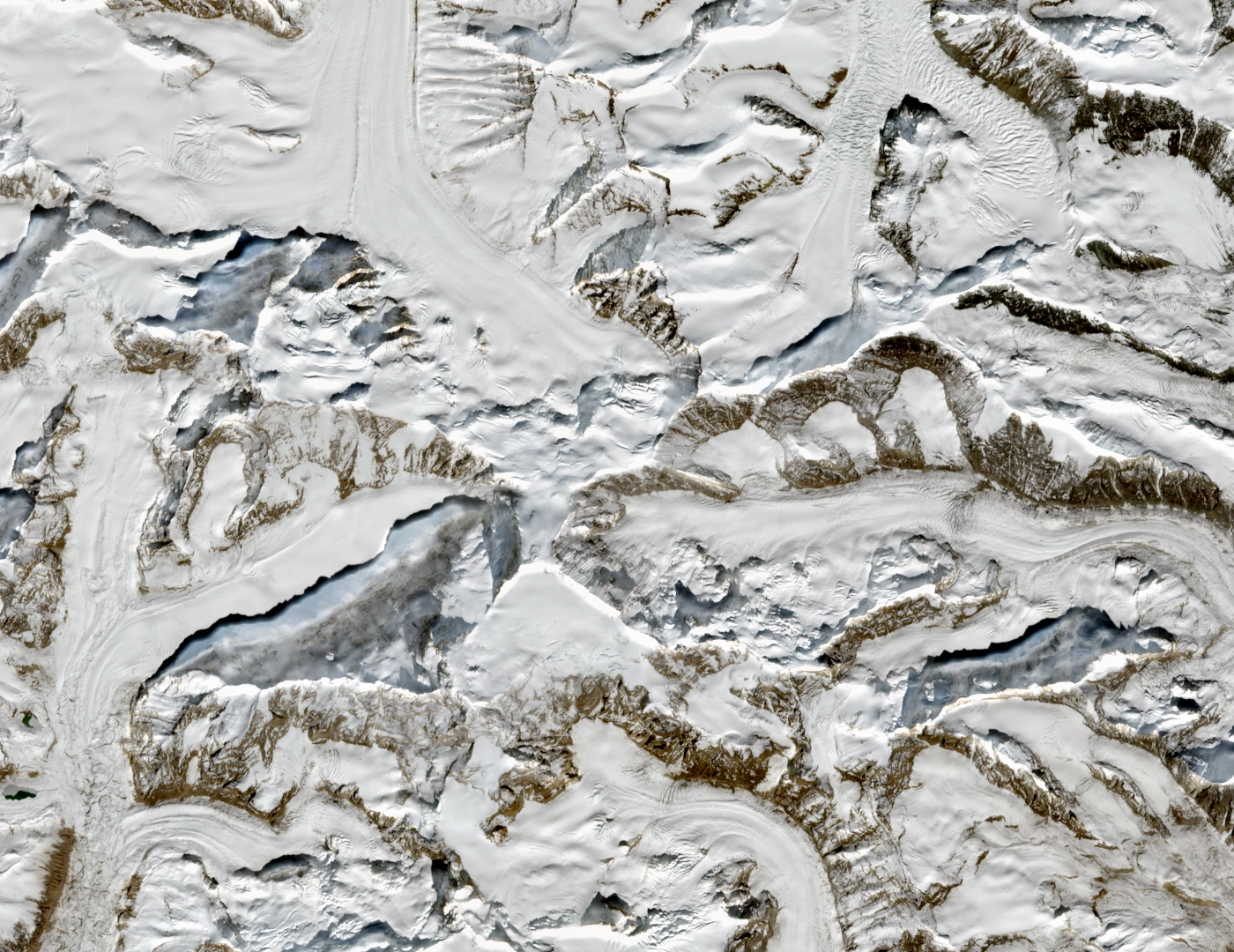
A Sentinel-2B natural-colour image acquired on 22 October 2026 shows the Kamet Group under clear autumn conditions. The summit of Peak 6,651 is visible on the border ridge slightly above and to the right of centre in the frame, with the snow domes of Abi Gamin and Kamet lying diagonally below it to the left. The image has been exposure and contrast adjusted and cropped; no annotations have been drawn onto the scene.
Contains modified Copernicus Sentinel data 2026.