
Granite Landforms and the Southeastern Cirques
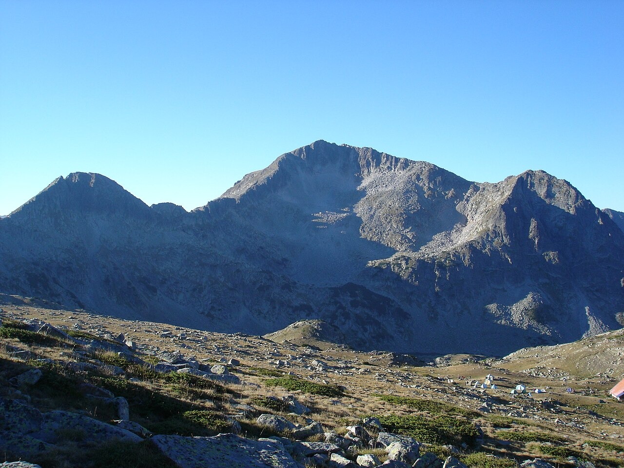
Nikolay Dautov's geographic dictionary, reproduced in the park journal, describes the summit as granite with steep rocky slopes and glacial hollows framing the high terrain. A short ridge to the southeast separates the named Demirkapiya and Dupkata cirques. Between the rocks below the summit, juniper, grasses, and sparse dwarf pine occur according to the same source.
Survey Elevations
The 2,822 m figure appears on the park's published map and in the National Statistical Institute's official statistics. Dautov's geographic dictionary entry documents four readings. H. Louis recorded 2,835 m in 1926. A nearby mapped spot is given as 2,822 m and a triangulation reference as 2,816 m. The dictionary's own heading reads 2,824 m.
Tevno Ezero and the Belemeto Cirque
Tevno Ezero sits at 2,512 metres in the Belemeto cirque, within the Kamenitsa district of Pirin National Park. The park places an overnight shelter close to one end of the lake. From the lake, the three-peak profile shows Malka Kamenitsa on the left, Kamenitsa at center, and Kamenishka Kukla on the right.