
Landform and Terrain
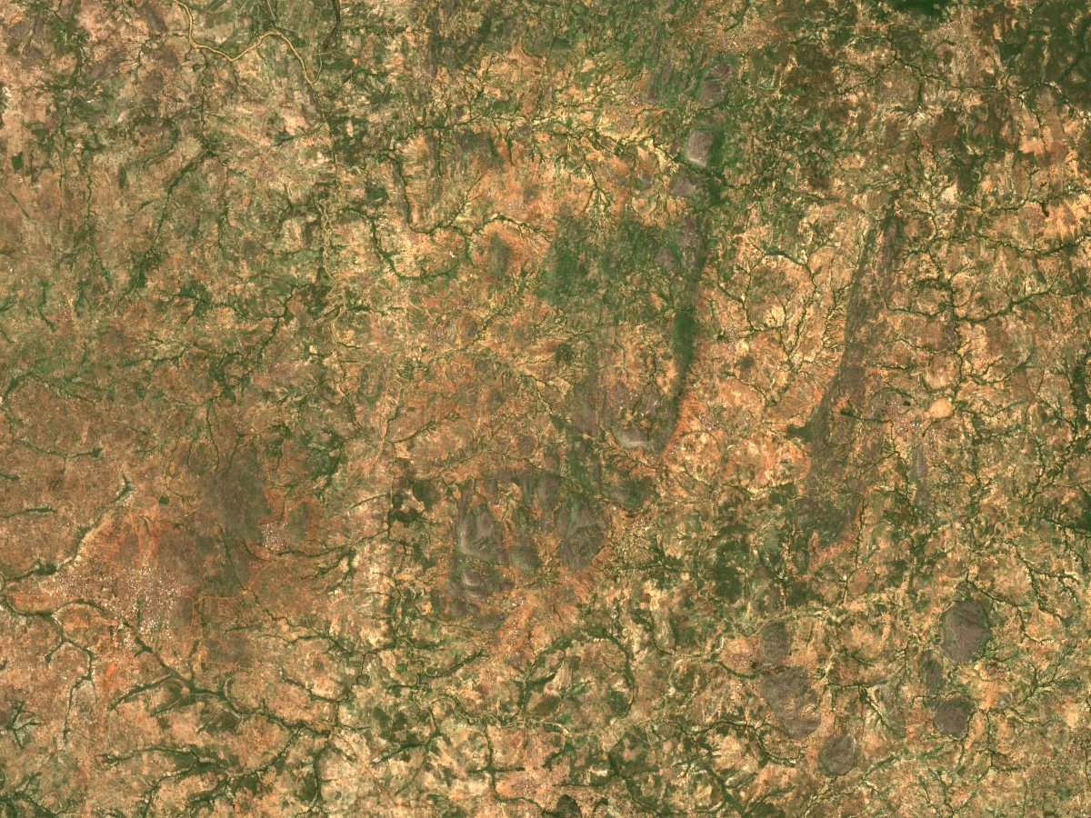
A Sentinel-2B true-colour image captured on 21 May 2025 shows the characteristic pattern of the hills north of Kagarko: rocky wooded ground interspersed with lighter patches of farmland. Archaeologist Henrik Junius describes forest on the lower ground of the former Giwa Forest Reserve. At elevations above 600 metres, the vegetation in his study area became more open and exposed granite formed some of the hilltops.
Early Farming and Settlement
Field surveys conducted by the Nok research team in 2005 and 2006 identified three early sites in the area around the town of Kagarko: Janruwa, Janjala, and Akura. Radiocarbon evidence from those sites points to occupation around 500 BCE. Pearl millet was identified at all three locations, providing direct evidence of early agriculture in the district.
Iron Smelting at Janjala
A 2013 excavation at Janjala opened a 25-square-metre trench and uncovered three smelting furnace features. Recovered materials included charcoal, slag, a fragment of a clay air pipe, and a partially preserved terracotta figurine standing approximately eight centimetres high, found in the fill of one of the furnaces. The excavation report, published by Henrik Junius in the Journal of African Archaeology in 2016, did not assign a single secure date to the three furnaces, as different samples from the trench yielded different dates.
Hills in District History
A 2015 district study by historian Luka Jane Lamba of Ahmadu Bello University, drawing on local historical testimony and archival sources, records Katugal Hill as a boundary marker between Katugal and Shadalafiya villages in the wider Kagarko District.